Skies are clear.
Temperatures continue to warm and are in the mid to upper 20s with some mid-elevation stations in the mid-30s.
Southerly winds picked up in the early evening and continue to blow 25mph with gusts to 40. The most exposed weather stations have hourly averages in the 30-40mph range with gusts to near 60.
Skiing and riding conditions remain excellent in the sun and wind sheltered terrain with 3-4' total snow depths along the upper reaches of the Cottonwoods and 2-3' along the Park City ridgeline.
Clouds will increase today and we should start to see some light snowfall overnight with storm totals through early Monday pegged at 5-10". Mountain temps will be in the upper 20s and near 30°F today with moderate south/southwest winds. Clearing expected Monday eve through Wednesday with generally unsettled weather the latter part of the work week.
Visit the
Week in Review for a summary of the weather and avalanche activity from the past week.
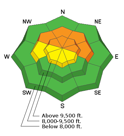
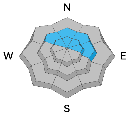
Ski area control teams in the upper Cottonwoods continue to trigger avalanches into the old October snow in high northerly through easterly terrain. Some of these are repeater avalanches; that is, they previously avalanched, filled back in with additional snow and wind drifted snow, and are running again. This indicates that many of the avalanches from the Thanksgiving cycle did not clear out the old weak snow and may be primed to run again. This is not good and, truth be told, not all that unusual, as we tiptoed around repeaters last early winter as well. Video courtesy of Alta ski patrol and Trent Meisenheimer.
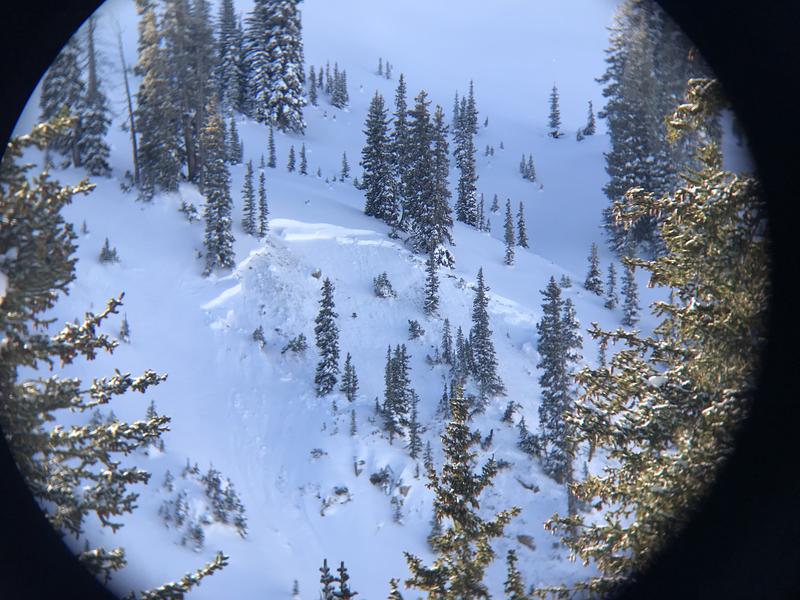
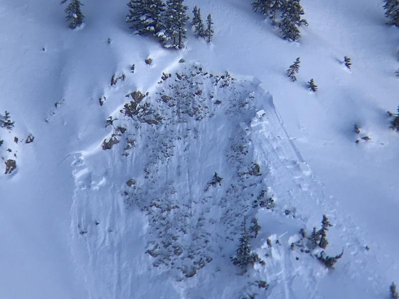
In the backcountry, separate observations by Bo Torrey (UAC) and Tim Rogers (UDOT) noted two new avalanches of unknown provenance below Sunset Peak in upper BCC 2-3' deep and 50-100' wide. These were in northerly terrain at roughly 10,200'. The trigger mechanism was unknown though they were potentially remotely triggered by other parties traveling near the area. (photos below: Bo Torrey through a monocular).
Collapsing of the Thanksgiving slab into the old snow still noted yesterday from the PC ridgline to Twin Lakes Pass to the Brighton periphery.
You can view all reported avalanche activity
HERE.