Forecast for the Skyline Area Mountains

Brett Kobernik
Issued by Brett Kobernik on
Tuesday morning, January 10, 2023
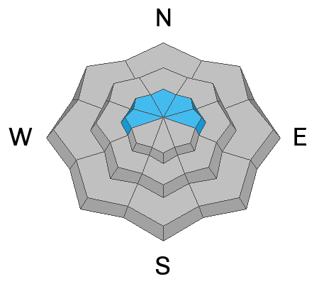
The overall avalanche danger is rated CONSIDERABLE today.
Watch for cracking within the new snow especially on the northern Skyline which received a foot of new snow.
The added weight from this storm also increases the chances for triggering a deeper avalanche that breaks into old weak snow from November.
It's wise to avoid slopes steeper than 30˚ as this storm progresses. My hunch is that the snow will all stay in place but I'll feel a lot better about the deep weak layer if we get through this storm with no avalanches.
Low
Moderate
Considerable
High
Extreme
Learn how to read the forecast here
Weather and Snow
Current Conditions: Once again, the northern Skyline (Fairview/Huntington Canyons) received the most new snow with a solid 12" in the last 24 hours at my Electric Lake dam weather station. The central and southern end picked up 5 to 6 inches. Wind from the southwest is STRONG this morning along the highest peaks. It is getting down into the canyons a bit also. Temperatures are really warm with most upper elevation stations reading around 30˚F. With the warm temperatures the rain/snow level is around 7000 to 8000 feet in elevation.
Mountain Weather: Precipitation will taper off this morning and we'll have a break during the day. Southwest wind should slow down this morning and into the afternoon. Temperatures will remain warm at around 30˚F. Another round of snowfall starts this afternoon/evening and will go into Wednesday morning. The flow is from the southwest to start and most of the precipitation will happen then. Temperatures will cool into the upper teens. We should see another 5 to 10 inches of snow by sometime Wednesday. The wind is going to switch and will blow from the northwest with strong speeds Wednesday morning.
Ad
Avalanche Problem #1
Wind Drifted Snow
Type
Location
Likelihood
Size
Description
Slabs of Wind Drifted Snow may be a concern especially on the northern end of the Skyline which received the most new snow. The most likely place to find trouble is just below ridgelines on steep slopes facing north through southeast. Watch for cracking within the new snow as an indicator of unstable conditions. Use small test slopes with no consequences to see if you can get them to crack out.
Avalanche Problem #2
Persistent Weak Layer
Type
Location
Likelihood
Size
Description
The weight of the new snow adds stress to the deeply buried Persistent Weak Layer that formed in November. This makes it more likely to trigger an avalanche that breaks into that weak layer. My hunch is that the additional weight from this storm isn't enough to make a huge difference but these faceted weak layers are notoriously tricky so I'm using caution today out in the backcountry.
General Announcements
This forecast is from the U.S.D.A. Forest Service, which is solely responsible for its content. This forecast describes general avalanche conditions and local variations always occur.