Forecast for the Salt Lake Area Mountains

Issued by Greg Gagne on
Wednesday morning, February 13, 2019
Wednesday morning, February 13, 2019
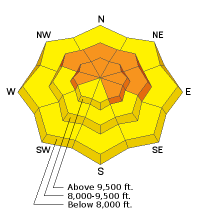
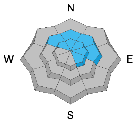
It is a day of rising danger, with the avalanche hazard reaching CONSIDERABLE by this afternoon at mid and upper elevations facing west, through north, and east. The primary avalanche concern are recent and new wind slabs at the mid and upper elevations. Cornices are also growing and may break off naturally. Avoid traveling on a slope beneath cornices, and stay well back from a corniced ridgeline. Possible rain on snow at lower elevations add to the list of avalanche concerns, as well as sluffing in the new snow and shallow, sensitive storm slabs that may develop during any period of higher precipitation intensity.
The avalanche hazard will likely rise to HIGH by later this week, with elevated avalanche hazard through at least the holiday weekend.

Low
Moderate
Considerable
High
Extreme
Learn how to read the forecast here


