Forecast for the Salt Lake Area Mountains

Issued by Mark Staples on
Sunday morning, December 23, 2018
Sunday morning, December 23, 2018
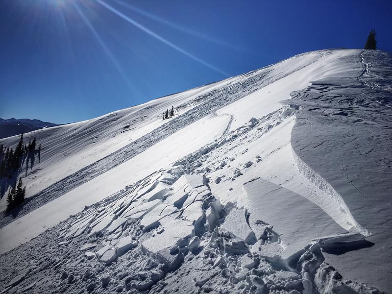
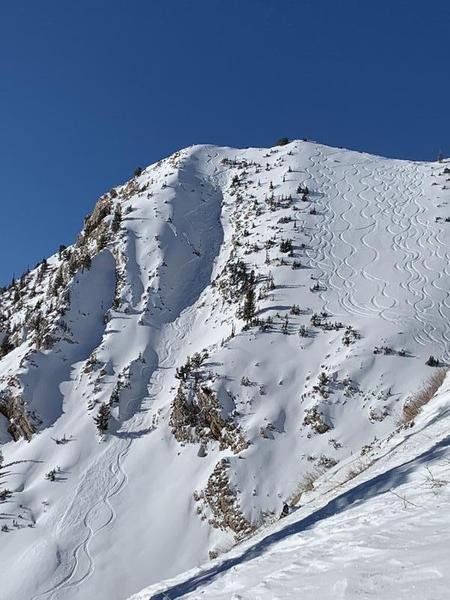
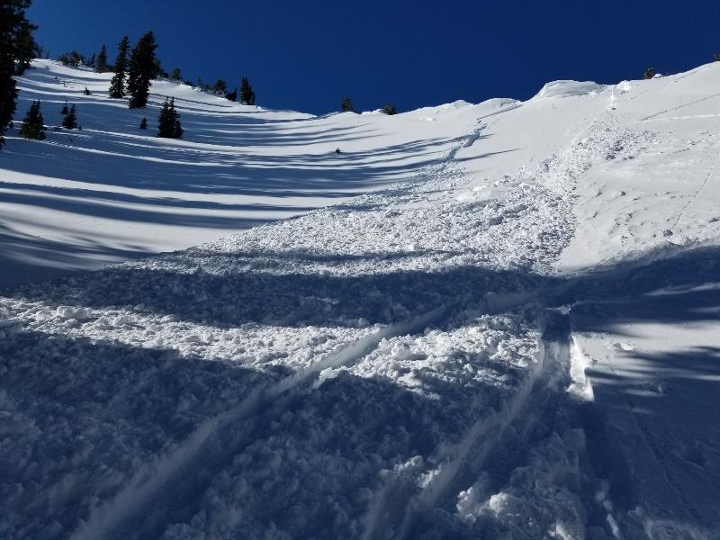
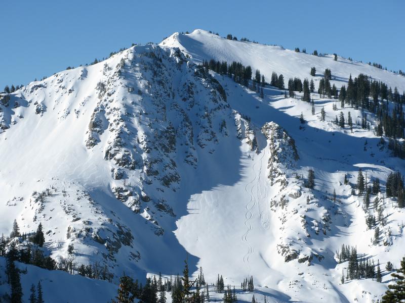
It remains possible to trigger a slab of wind drifted snow today. Look for signs of wind loading which are areas with smooth rounded or pillowly looking snow. These are typically found downwind of slopes where the wind has scoured or removed snow. An isolated chance exist of triggering a larger slab avalanche breaking near the ground mainly in areas with thinner snow on N and NE aspects.
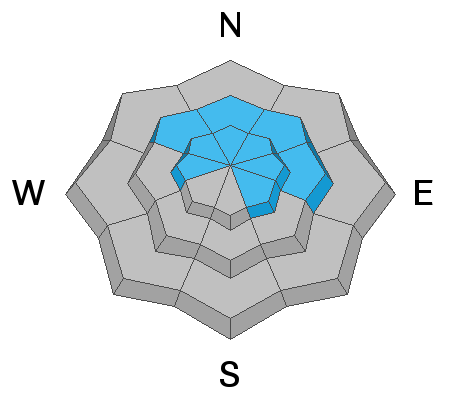
For today the avalanche danger is MODERATE at upper elevations and MODERATE at mid elevations facing NW->N->E. The danger is LOW elsewhere.

Low
Moderate
Considerable
High
Extreme
Learn how to read the forecast here