Observation: Mickey Mouse Mine

Observation Date
4/9/2025
Observer Name
Hardesty
Region
Salt Lake » Big Cottonwood Canyon » Mill F » Mickey Mouse Mine
Location Name or Route
Mickey Mouse Mine
Weather
Sky
Few
Wind Direction
Southwest
Wind Speed
Moderate
Snow Characteristics
Snow Surface Conditions
Melt-Freeze Crust
Damp
Snow Characteristics Comments
Just enough wind to delay the corn cycle. SW was still supportable and creamy by 2pm.
Red Flags
Red Flags Comments
No red flags noted.
Avalanche Problem #1
Problem
Normal Caution
Problem #1 Comments
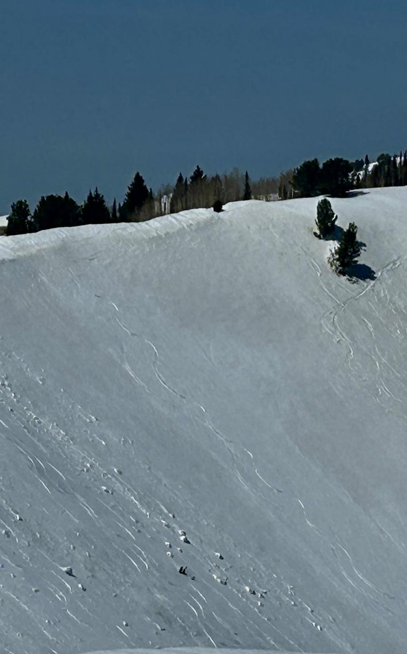
Wet avalanches, glide avalanches, cornices, and roof slides are the clear threat in the coming days (again). Photo below of cornices overhanging Scott Hill with little wet activity to show.
Avalanche Problem #2
Problem
Wet Snow
Trend
Increasing Danger
Problem #2 Comments
Forecast free air temperatures at 700mb (~10,000') +6C Thurs and +10C Friday night after today's +1C would imply "rapid warming" over the next several days with perhaps wet avalanches becoming more prevalent, even on polar aspects. That said, the storm snow from last week seems to have fairly well transitioned with sun/temps. Wind, cloud cover, RH, etc will be other factors to consider in the coming days.
Dust layers are always interesting to hydrologists and avalanche practitioners. Chris Landry (Painter, Deems, et al) in Silverton/mid-2000s with the Center for Snow and Avalanche Studies and more recently U of U professor McKenzie Skiles have a number of papers investigating dust on snow events in Colorado and Utah, respectively.
Today's Observed Danger Rating
Low
Tomorrows Estimated Danger Rating
None
Coordinates