AVALANCHE WARNING!! Tap for info

Observation: South Fork

Observation Date
1/15/2025
Observer Name
Meisenheimer / Kobernik
Region
Skyline » Spring City Canyon » South Fork
Location Name or Route
Spring City Canyon to South Fork to Skyline Drive to Black Canyon
Weather
Sky
Clear
Wind Direction
Northeast
Wind Speed
Calm
Weather Comments
It was such a nice day. There was little wind on the ridgetops, but otherwise, it was sunny and warm.
Snow Characteristics
Snow Surface Conditions
Powder
Dense Loose
Faceted Loose
Rain-Rime Crust
Damp
Snow Characteristics Comments
Throughout the zones we traveled, a variety of snow surfaces existed. There is lots of soft, settled powder on the shady aspects. Average depths ranged from 90 cm (35 inches) to 130 cm (51 inches). Brett said this zone probably has the deepest snowpack on the Manti-Skyline. North towards Fairview, it gets shallower, and south of Manti, it also gets shallower. He described the Skyline as three zones:
1. North (Fairview/Electric Lake): Average snow depths 2 to 3 feet
2. Central (Pleasant Creek through Ephraim Canyons): Average depths 3 to 4 feet
3. Southern (Manti, 6 Mile, 12 Mile): around 3 feet
Overall, the snowpack in the areas we traveled is punchy, and you must ride with extreme caution. It's not open season. Many rocks, trees, and other hidden obstacles are under the snow.
Red Flags
Red Flags
Poor Snowpack Structure
Red Flags Comments
The snowpack structure is pretty simple. A rain crust in the snowpack marks the December 25th timeframe. A rain event went all the way to 10,000', and you can find this crust no matter where you are. This crust is roughly 30-60 cm (12 to 24 inches) off the ground and is easy to find. This is an excellent marker for the Skyline. Above this crust is all the snow since Christmas, roughly 2-3 inches of water weight (inches of snow?). It is worth noting that below this crust, the snowpack is mainly faceted and weak. However, the structure has gained some strength as most of our profiles show an average hardness of four fingers. However, Brett told me that the other zones, north (Fairview Zone) and south (Manti/12 Miles zones), are shallower, and the snowpack's overall strength is closer to fist hardness.
Avalanche Problem #1
Problem
Persistent Weak Layer
Trend
Decreasing Danger
Problem #1 Comments
The chance of triggering an avalanche decreases daily with high pressure and no new weight added to the snowpack. Our extended column test showed no propagation, and we did not hear the snowpack collapse when traveling on skis. However, there are so many slopes with faceted snow that it's hard to trust anything on slopes facing west to north to east at the mid and upper elevations. The most suspect terrain for triggering an avalanche would be steep, wind-loaded terrain. Out of the wind, the slab seemed relaxed and dormant.
The snow surface will be the next thing to watch as there is not much snow to January 28th in the forecast. We could expect this surface to become weak and faceted over time. Perhaps the next weak layer. We will see.
Comments
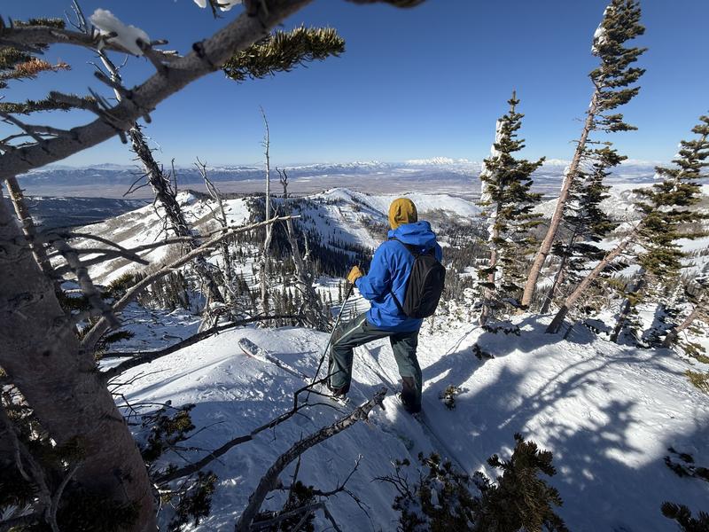
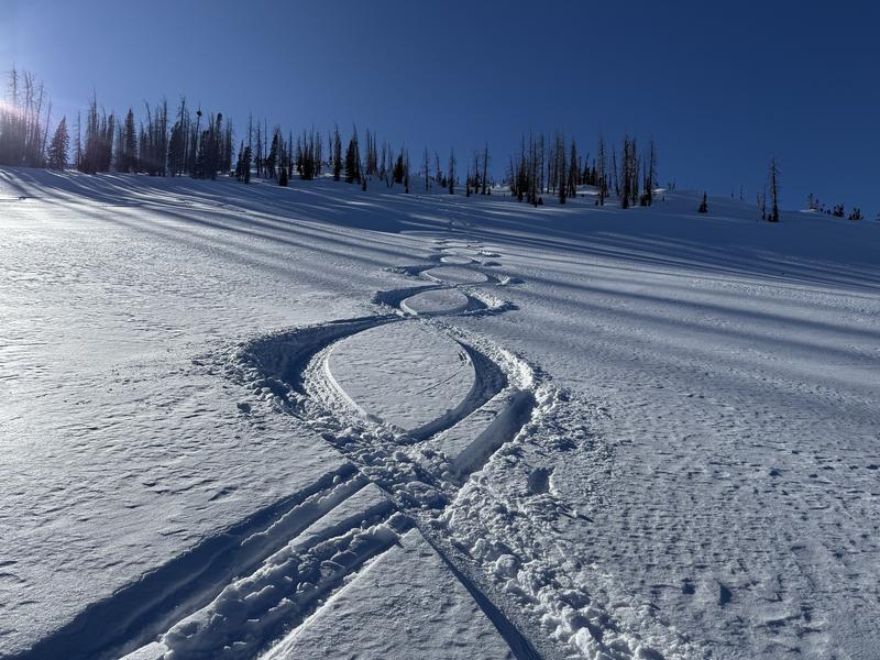
Overall, snow-biking or sledding remains limited, as you can punch through the snowpack down into the dirt if you're not careful (I almost went over the handlebars three times on the descent when my ski dropped deep into the pack). The danger of avalanches is also decreases as time goes on. For today, we rode cautiously and conservatively. We did have to make one run and link some 8s. Nalli would be proud (a dear old friend).
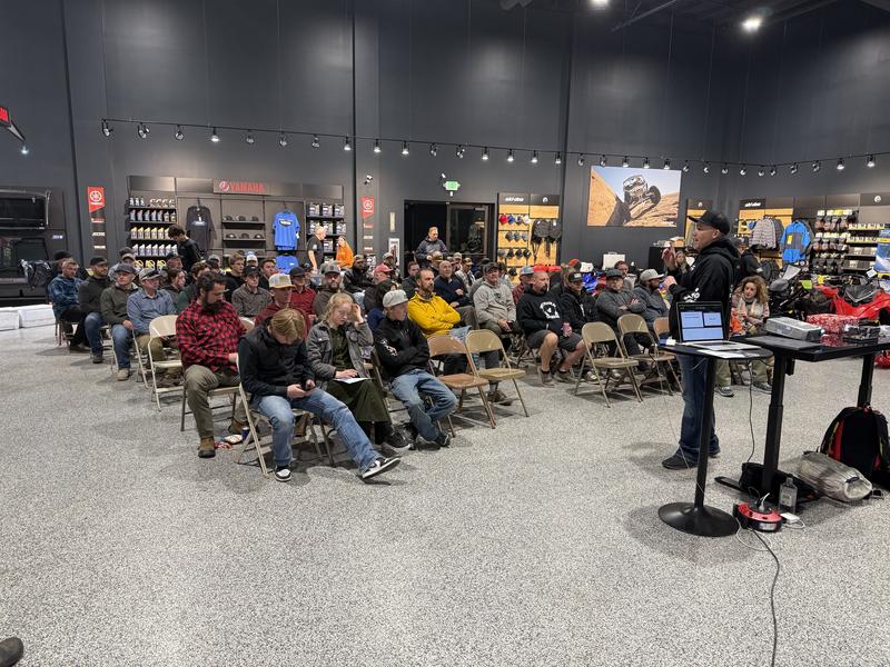
We started with a talk at Big Pine Sports and had a fantastic turnout. Thank you to everyone who came out. The biggest SHOUT OUT to Jared for hosting us and providing all the giveaways and the pizza. Thank you to the whole community for all the questions and comments. It was a blast to be a part of this.
Today's Observed Danger Rating
Moderate
Tomorrows Estimated Danger Rating
Moderate
Coordinates