Observation Date
12/18/2024
Observer Name
Talty
Region
Salt Lake » Park City Ridgeline » Scott Hill
Location Name or Route
Scott Hill
Comments
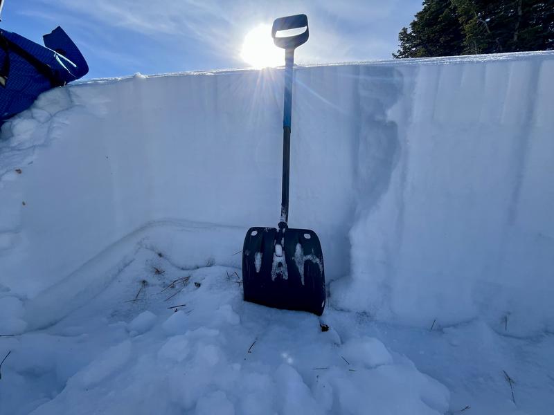
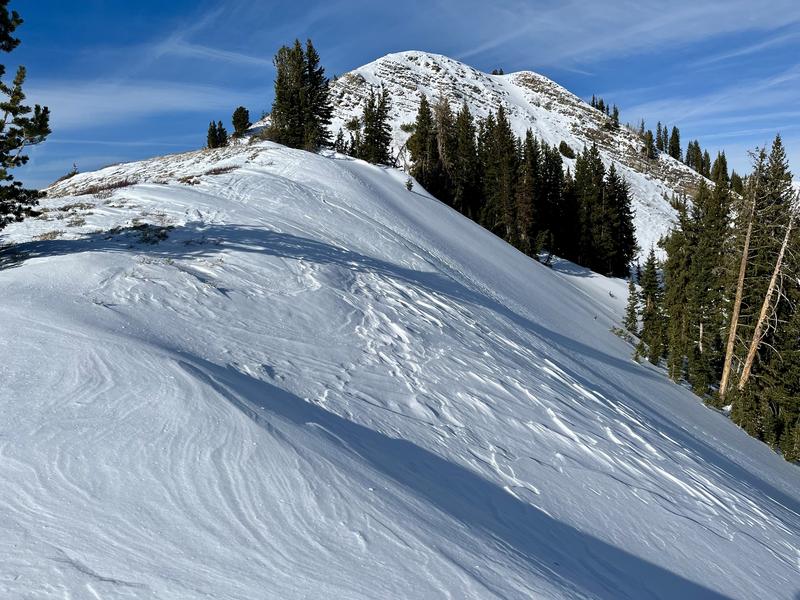
Today's travel was from Guardsman Pass to Scott Hill along the PC ridgeline. Hoping to get a feel for how communicative our snowpack is, I hunted for collapses and found only a few. After one particularly loud collapse along a wind-drifted north-facing slope at 9900’, a quick snowpit revealed a weak structure with facets beneath the wind-drifted snow. The pit was in a less wind-loaded area (it was challenging to find a safe, representative spot to dig) and no propagation occurred in my ECTs. I would expect different results on heavily wind-loaded slopes.
No new avalanches were observed, and signs of instability were not jumping out in this zone. Digging into the snow tells another story and it’s easy to find old, faceted snow beneath the surface on shady slopes.
Pic 1: Snowpit showing layer of greatest concern (PWL)
Pic 2: Wind loaded north-facing slope, steer clear
Pic 3: Faceted crystals 2' beneath the snow surface
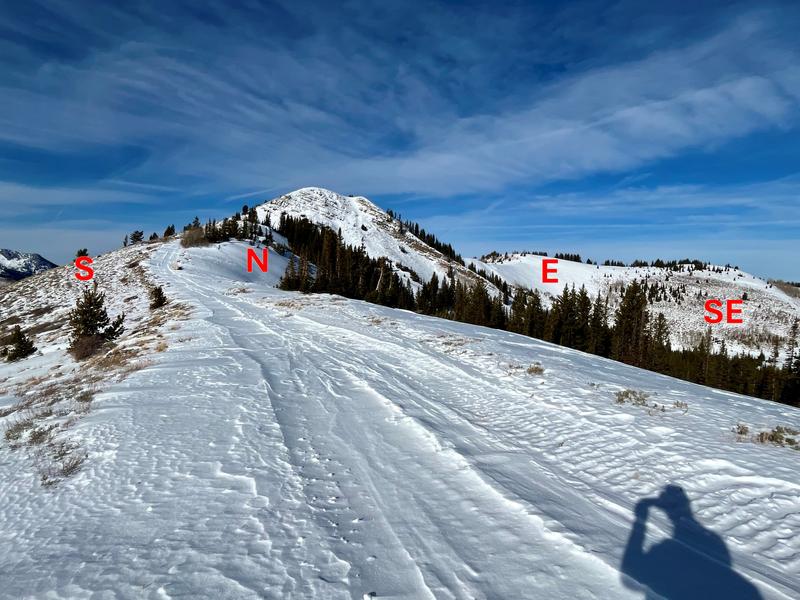
Pic 4: Aspect check
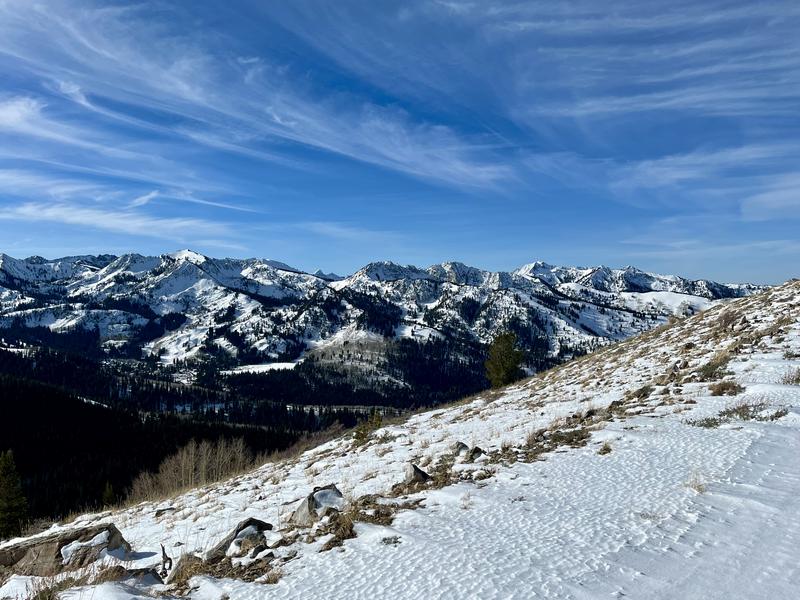
Pic 5: Very nice

Today's Observed Danger Rating
Considerable
Tomorrows Estimated Danger Rating
Considerable
Coordinates


