Observation Date
11/9/2024
Observer Name
Gagne
Region
Salt Lake » Little Cottonwood Canyon » Alta Ski Area
Location Name or Route
Alta - Collins - Sugarloaf/Supreme
Comments
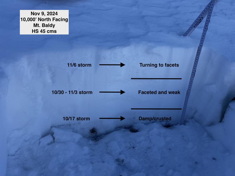
My objectives were to look at existing coverage and the current snowpack. Sunny slopes will likely melt out in the next few days with even warmer weather forecast. On the shady slopes (NW through NE) there is 30-45 cms of settled snow. The storm snow from Tuesday, Nov 5 is becoming faceted while the "mid-pack" (consisting of snow that fell in late Oct and early Nov) is all faceted. The bottom 5-10 cms is crusted.
With clear skies, low sun angle, and large temperature differences between day and night, the thin snowpack will continue to weaken.
Photos of
- snowpack on northerly aspect at 10,000'
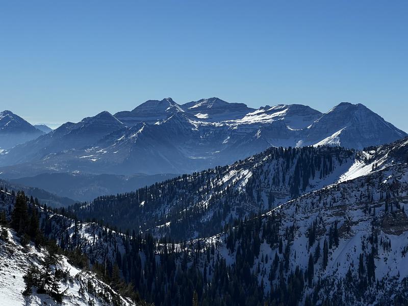
- view toward Timpanogos (Wooley Hole and the Giant Staircase)
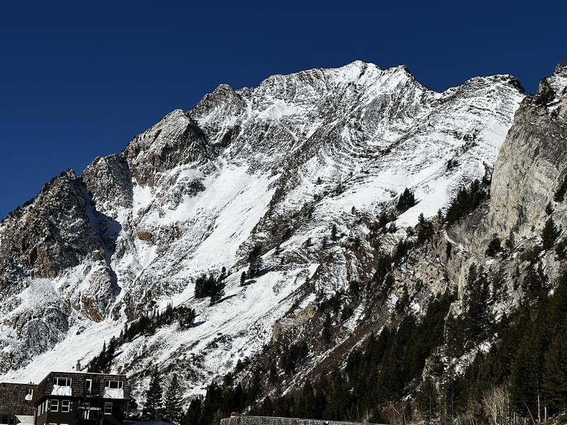
- Mt. Superior
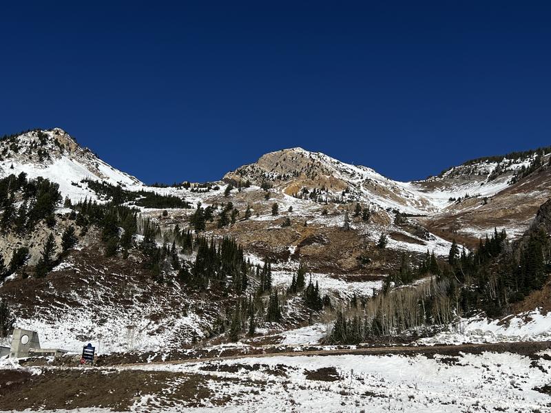
- South facing LCC
The biggest risk right now is hitting either exposed or barely hidden rock.


Today's Observed Danger Rating
None
Tomorrows Estimated Danger Rating
None
Coordinates


