Nikki Champion
Forecaster
Week in Review: Avalanche Conditions and Snowpack Developments (March 21-March 27, 2025)
Each week, we look back at the key snowfall, weather, and avalanche events from the previous week. For archived forecasts, visit the Salt Lake Mountains’ past updates.

As the season begins to wrap up, and we finally put the persistent weak layer to the past we will no longer be looking at the individual days throughout the week but rather just the overall summary and pattern.
Overall Summary:
A series of storms brought fresh snow and shifting winds to the Salt Lake mountains, with 6–8 inches falling the night of March 21 into the 22nd, followed by another 2–5 inches by the 23rd. Winds remained active, gusting up to 50–60 mph at times and forming fresh wind slabs on upper-elevation leeward slopes. Temperatures fluctuated, with daytime warming contributing to wet snow issues on solar aspects.
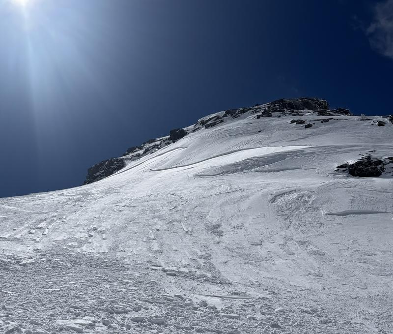
Avalanche danger remained MODERATE, with the primary concerns being wind-drifted snow at mid and upper elevations and wet avalanches on steep, sun-exposed slopes. Several rider-triggered and natural avalanches were reported, including wind slabs failing on density changes and melt-freeze crusts, as well as wet loose slides in steep terrain. Notable avalanche activity included shallow slides in Twin Lakes Pass, Patsy Marley, and Wolverine, along with a natural slide in the Y-Couloir. A hard slab avalanche on Dromedary Peak was skier-triggered on March 23rd at 10,800 feet, breaking 18 inches deep and 150 feet wide.
Dromedary Hard Slab

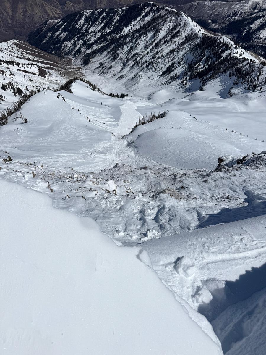
Since March 24, warming temperatures and strong winds changed avalanche conditions. The danger remained MODERATE overall but fluctuated with daytime heating, particularly on south- and west-facing slopes where wet snow avalanches became a growing concern. Poor overnight refreezes increased instability, with the potential for larger wet slab avalanches developing in the coming days. Winds stayed strong at upper elevations, creating stubborn wind slabs triggered by both skiers and snowboarders. A hard slab avalanche on was also triggered by light explosives in upper LCC, broke 4 feet deep in steep, rocky terrain, and another cornice-triggered slide on Cascade in the Provo mountains stepped down 3.5 feet into old depth hoar.
Cascade avalanche


Leave a comment