UDOT PLANNED AVALANCHE CLOSURES!!

Forecast for the Ogden Area Mountains

Drew Hardesty
Issued by Drew Hardesty on
Monday morning, January 6, 2025
Pockets of CONSIDERABLE danger exist on upper elevation northwest through east facing slopes. Here you can trigger 1-3' thick slab avalanches failing on a persistent weak layer of faceted grains. You can trigger these tricky avalanches from a distance or below. On all aspects of the mid and upper elevations, a MODERATE danger exists for triggering a lingering wind or storm slab from the most recent storm.
*If you're heading out of bounds, you are most likely stepping into potentially dangerous conditions.
Low
Moderate
Considerable
High
Extreme
Learn how to read the forecast here
Weather and Snow
Skies are overcast. Mountain temps are in the low to mid-20s. Winds are light to moderate from the west. For today, we'll have overcast skies and a trace to an inch of new. Temps will rise into the upper 20s to mid-30s. Winds will be light from the west. The current "storm" will shear apart and winds will be moderate to strong from the northeast tonight into tomorrow with strong canyon winds (east to west) possible. Another weak storm Wednesday night with strong north wind and possibly another storm for the weekend.
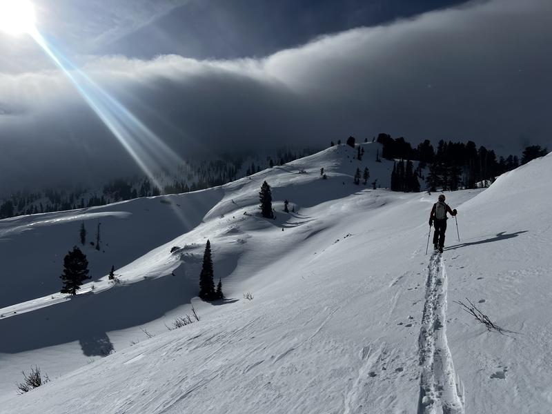
Yesterday, forecaster Greg Gagne and partner toured up along the Cutler ridge and found excellent and easy travel conditions with decent skiing. A rime event occurred in the afternoon but it wasn't mentioned as an issue. Greg's excllent report can be found HERE.
Recent Avalanches
Ski area control teams had mixed results with ski cutting and explosives yesterday with mostly soft slabs triggered within the new snow or as wind slabs. Pockety hard slabs continue to release with explosives. Cracking and collapsing still seem to be present in undisturbed terrain.
Ad
Avalanche Problem #1
Persistent Weak Layer
Type
Location
Likelihood
Size
Description
The snowpack sits uneasily with cohesive slabs of snow sitting 1-3 feet thick above a persistent weak layer of sugary grains. These slabs continue to be triggered at the ski areas and remain dangerous in the backcountry. This unstable structure is most pronounced on northwest to east facing slopes at the mid and upper elevations. Caution is required in this terrain.
Additional Information
The accident reports for the Porter Fork and Davenport Hill Accident have been completed. You can read them HERE.
At the Utah Avalanche Center, we strive to learn from every avalanche incident and share insights to help others avoid similar accidents. We have all experienced close calls and understand how easily mistakes can happen. Our goal with these reports is to provide valuable learning opportunities.
General Announcements
This information does not apply to developed ski areas or highways where avalanche control is normally done. This forecast is from the U.S.D.A. Forest Service, which is solely responsible for its content. This forecast describes general avalanche conditions and local variations always occur.