UDOT PLANNED AVALANCHE CLOSURES!!

Forecast for the Salt Lake Area Mountains

Drew Hardesty
Issued by Drew Hardesty on
Wednesday morning, December 11, 2024
The avalanche danger is LOW on all aspects and elevations. Take note to avoid any shallow new pockets of wind drifted snow along the highest ridgelines and be aware of loose dry sluffs in the steepest shady terrain. The major concern remains hitting shallowly buried obstacles in the thin snowpack.
Low
Moderate
Considerable
High
Extreme
Learn how to read the forecast here
Special Announcements
For those in the Central Wasatch, don't forget about the Dawn Patrol Hotline! Updated daily by 5:00–5:30 AM, you can get the latest information by calling 888-999-4019, option 6.
Weather and Snow
Skies are clear.
Mountain temperatures are in the upper teens to low 20s. Winds are generally light from the west except along the highest ridgelines where anemometers spin 20-30mph with gusts to 50.
For today, we'll have mostly sunny skies, generally light westerly winds, and temperatures rising into the mid-30s.
Look for winds to increase out of the southwest tomorrow ahead of the first of a few weak storms expected through next week. Tomorrow night's storm looks mostly dry although the late weekend storm could produce 5-10" of new snow. I'll believe it when I see it. Another storm is possibly on tap for Tuesday...and then dry forever after. Maybe Santa has something up his sleeve. We'll see.

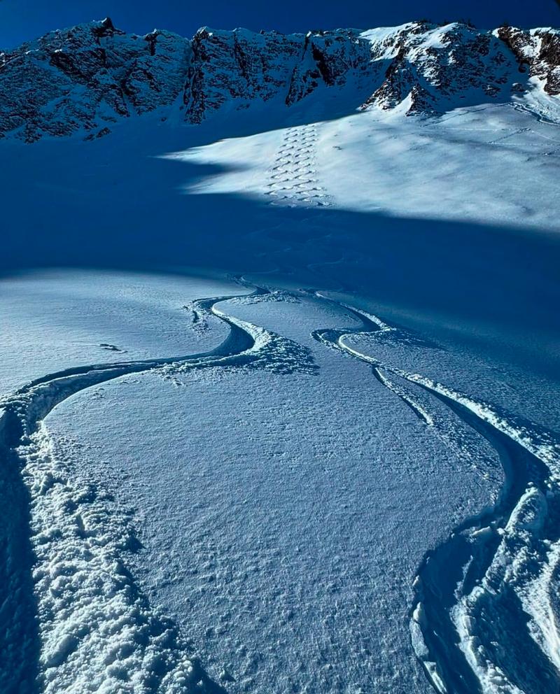
That said, despite the meager coverage of 1-3 feet of snow on the ground, riding conditions are not half bad with the most recent 1-4 inches of new atop old, soft, recrystallized snow.
photo Mark White
Recent Avalanches
Recent activity has been limited to both natural and human triggered dry facet sluffs in steep, cold, shady terrain. The weak surface snow is losing so much strength that longer running "point-release" sluffs are becoming common. These sluffs are unlikely to bury a person, but they may catch and carry the unwary and knock them off their feet. I went over to look at some of these along the PC ridgeline yesterday and my report can be found HERE>

Check out all recent observations HERE.
Ad
Avalanche Problem #1
Persistent Weak Layer
Type
Location
Likelihood
Size
Description
At this point in the game, wherever you see white in the mountains, it's either hard slick melt freeze crusts or weak sugary faceted snow. Trent Meisenheimer gives a good summary of the snow conditions below.
General Announcements
This information does not apply to developed ski areas or highways where avalanche control is normally done. This forecast is from the U.S.D.A. Forest Service, which is solely responsible for its content. This forecast describes general avalanche conditions and local variations always occur.