Observation Date
11/16/2024
Observer Name
Chris Benson
Region
Moab
Location Name or Route
La Sal Pass
Comments
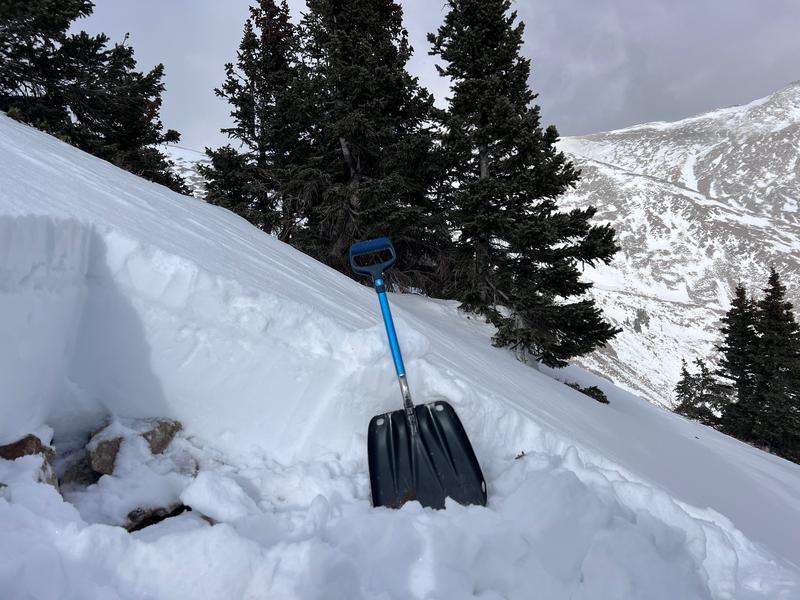
The snow in the alpine zone is.... quite rare. But in protected pockets like this wind drift near a ridgeline, we can see a little bit of structure. The most obvious is the stout, ~6cm melt freeze crust that has been forming during the warm sunny days. This crust offers surprisingly predicable skiing and sort of has the texture of a pumice stone (easy to skin up). Got some failures in column tests, but hard to translate this to avalanche activity. The crust(s) are adding strength and bridging over the possible weak layers. Of note- I noticed a very thin layer of sugary snow underneath the crust- I imagine there will be more development of facets above and below this crust and will be another interface to keep an eye on (if we ever get more snow??)

Video
Today's Observed Danger Rating
None
Tomorrows Estimated Danger Rating
None
Coordinates


