
Greg Gagne
Forecaster
Our Week in Review highlights significant snowfall, weather, and avalanche events of the prior week. (Review the archived forecasts for the Salt Lake mountains.)
The danger roses for the Salt Lake mountains from Friday, March 11 through Thursday, March 17:

Summary: A storm on Sunday leaves 6-12" of snow as well as another smaller storm on Wednesday with 1-3". Several remote, human-triggered avalanches reported, with one very close call. Many of those involved in these avalanches are snow professionals, and Drew Hardesty's blog, "A Reckoning", covers this quite well.
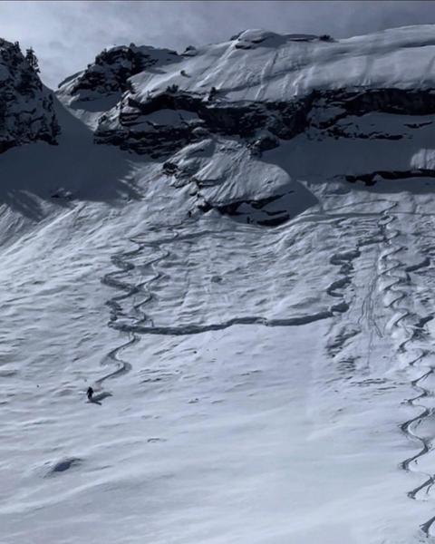
Friday, March 11: Sunny and clear. Two notable human-triggered avalanches, both failing in the persistent weak layer (PWL) of Jan-Feb facets. (1) Ivory Slabs where a rider was able to ski off to the side before a slide 4' deep that broke above them ran 500' vertical.
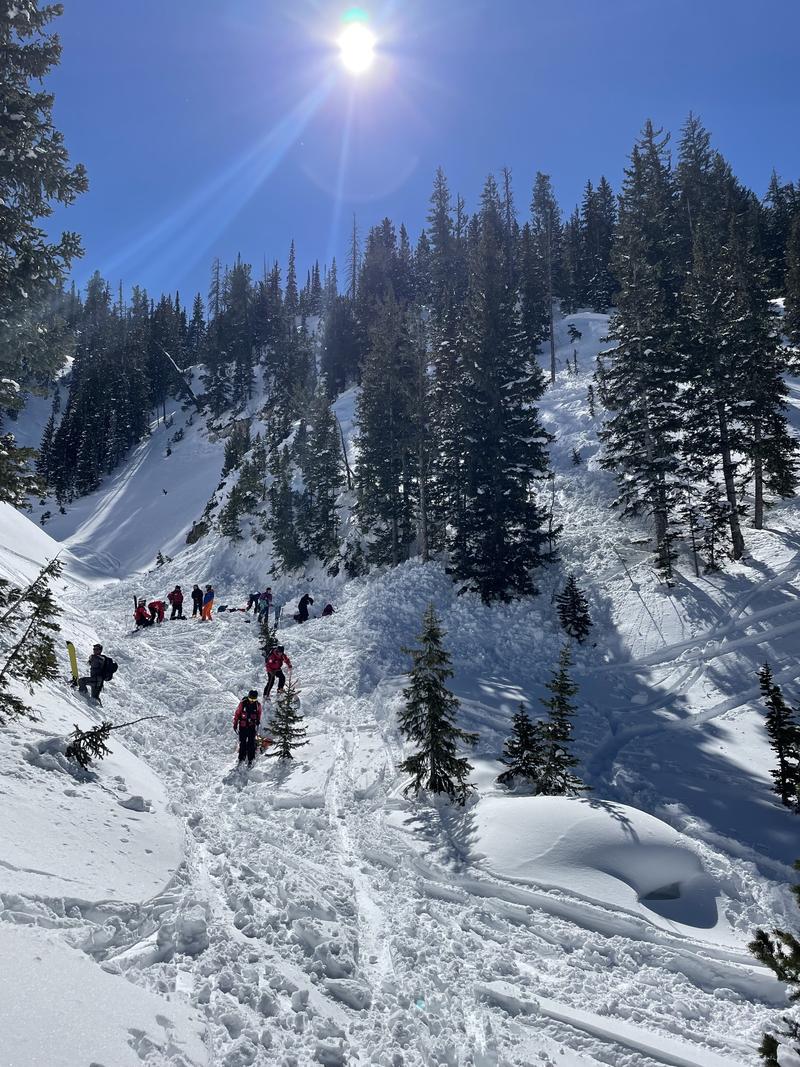
Saturday, March 12: Sunny and clear. A human-triggered avalanche in Silver Fork with a full burial 6' deep. The skier was buried for 23 minutes and was unconscious, but breathing when they were rescued. We encourage you to read the full accident report. Photo and video are below.
A solo skier in Mats Basin in caught, carried and partially buried. Fortunately, they were able to perform a solo rescue.
Sunday, March 13: A storm moves in Sunday morning. Snow totals include:
- 6" of snow along the Park City ridgeline
- 8" Little Cottonwood
- 12" Big Cottonwood
No backcountry avalanches are reported.
Monday, March 14: A ski cut at the top of the ridgeline in Mineral Fork on the run Barrieto generates a slide 3' deep, 600', running 1,500' down to the drainage bottom. Fortunately, no one is caught in this avalanche.
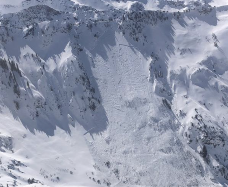
Tuesday, March 15: Another remotely-triggered avalanche failing on the Jan/Feb facets, this avalanche occurring in Porter Fork.
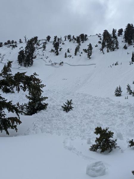
Wednesday, March 16: 1-3" of dense storm snow. No backcountry avalanches are reported.
Thursday, March 17: Clear and sunny. No backcountry avalanches are reported. The UAC lowers the danger rating on slopes where the PWL is present (west/north/east), emphasizing that although there is less likelihood of triggering a deep avalanche failing down in the Jan/Feb facets, any avalanche would be 1-3' deep and possibly hundreds of feet wide.


