Forecast for the Salt Lake Area Mountains

Issued by Greg Gagne on
Friday morning, December 17, 2021
Friday morning, December 17, 2021
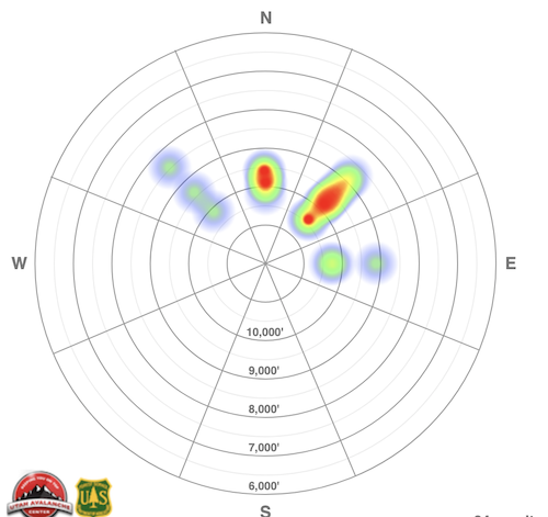
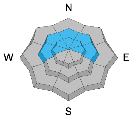
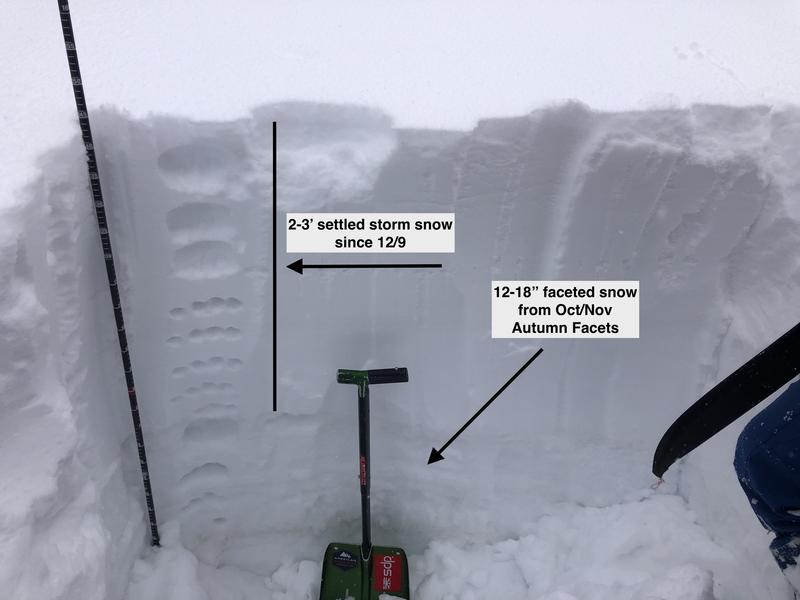
There is a CONSIDERABLE avalanche danger on slopes steeper than 30° at the mid and upper elevations on aspects facing northwest through north and east where recent storm snow and wind-blown snow has overloaded a layer of faceted snow down near the ground. Avalanches may break down 2-3' deep and propagate hundreds of feet wide.
Other than low-elevation southerly aspects which have a Low danger, there is a Moderate danger on all other aspects where you may encounter fresh wind drifts or sluffing in the low-density storm snow.
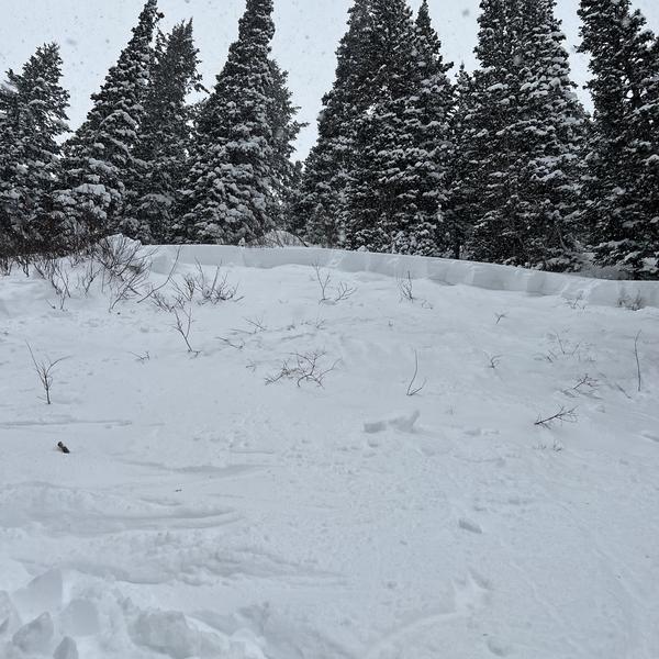
Fortunately, several days of regular snowfall, cold temperatures, and a low sun angle are providing excellent riding conditions on southerly aspects as well as lower-angled slopes on northerly aspects that are not below or connected to steeper slopes.

Low
Moderate
Considerable
High
Extreme
Learn how to read the forecast here