This morning, skies are overcast and mountain temperatures range from the mid to upper teens F. The northwesterly winds have increased overnight currently averaging 20-30 mph with gusts near 40 mph at the mid-elevations and gusts up to 75 mph at upper-elevations.
Today, low clouds will sit over the mountains with a small chance of light snow before clearing this afternoon. Temperatures will rise and skies will become mostly sunny this afternoon. Temperatures will settle into the mid and high 20s F. The northwesterly winds will continue averaging 25-35 mph, with gusts up to 45 mph at mid-elevations and up to 80 mph at upper elevations.
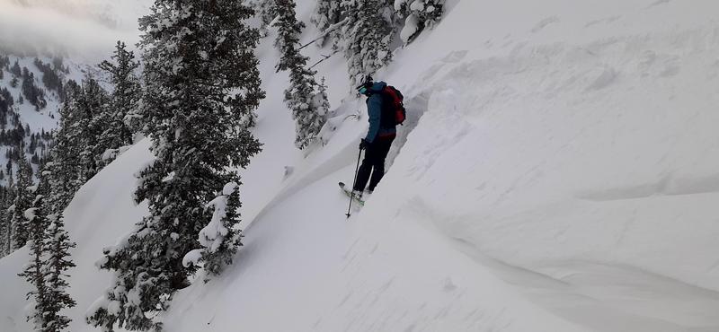
Yesterday, the snow surface became damp in the afternoon at lower elevations and southerly aspects. Expect to find a firm crust this morning. The best riding conditions will be found in sun sheltered and low-angle terrain.
It finally feels like we have a real winter under our feet. Coverage is pushing 80-120" in the higher reaches of the Cottonwoods and 50-70" along the PC ridgeline.
Dangerous avalanche conditions consume the West: The backcountry community has suffered 24 avalanche fatalities in 24 days, the most recent from Idaho, Nevada, and yesterday - Wyoming.
INFO. Utah is up to 6 avalanche fatalities for the season.
Ski area control teams and backcountry travelers noted sensitive cornices yesterday and some wet loose activity on steep south-facing terrain in the afternoon. On
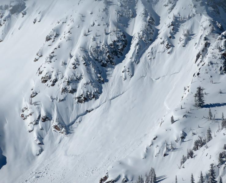
Pink Pine, there was one report of a shallow soft slab breaking 18" deep within the new snow on a Northeast Aspect at 9600'.
Photo of the crown from Pink Pine - broke 18" deep and approx 20' wide. (Kevin)