Forecast for the Salt Lake Area Mountains

Issued by Trent Meisenheimer on
Monday morning, April 15, 2019
Monday morning, April 15, 2019
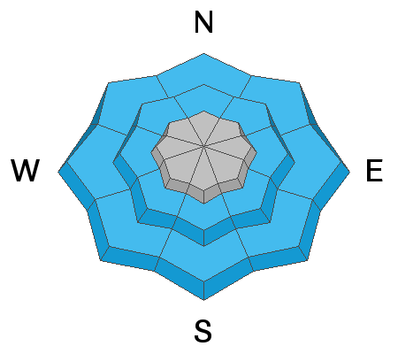
The avalanche danger is MODERATE for wind drifted snow at all upper elevations and at mid elevation northeast through easterly facing terrain. Strong southerly winds will create deeper and more dangerous slabs of snow throughout the day across specific terrain features and human triggered avalanches are possible.
At the low to mid elevations it's raining and you will find damp, wet, soggy snow; along with a MODERATE danger for wet snow avalanches.
At the low to mid elevations it's raining and you will find damp, wet, soggy snow; along with a MODERATE danger for wet snow avalanches.
Evelyn Lees will be updating the Salt Lake City, Ogden and Provo forecast Tuesday morning (April 16 th) by 7:30 am.

Low
Moderate
Considerable
High
Extreme
Learn how to read the forecast here


