Skies are partly cloudy and mountain temperatures range throughout the teens. Winds are out of the south/southeast, and have increased somewhat overnight. They are currently averaging 10-20 mph, with gusts into the 20’s and low 30’s at some mid and upper elevation stations.
Another day of beautiful - albeit boring - weather with mountain temperatures in the 20's and low 30's F. Winds will be out of the south/southeast, and generally light, with some gusts in the 20's mph along upper elevation exposed ridges. Skies will be mostly sunny, with a few high clouds passing by from time to time. We can expect to return to a more active weather pattern beginning Tuesday
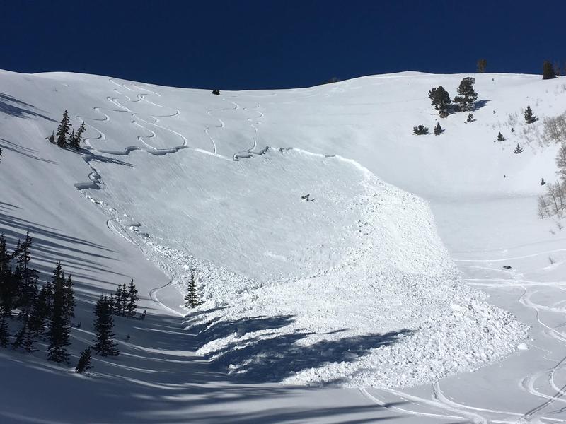
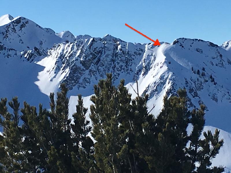
The only reported human-triggered avalanche in the backcountry from Sunday was on Mill Canyon Peak in American Fork Canyon. This was on east-facing slope at 9200'. This slope had been wind-loaded, and the slide broke down 18-36" deep and an estimated 250' wide, likely failing on a layer of faceted snow that formed the first few days of January. The slide was triggered by the 5th skier on the slope, but fortunately no one was caught or carried.
A natural glide avalanche was also reported from the Diving Board area in Broads Fork (
observation). Although not especially wide, it is reported to have run full track (1000') and possibly taking out down tracks from a party exiting from further up canyon.
Although it has been relatively quiet in the Salt Lake mountains, there were two close calls on Saturday to our south and north. One was on the Skyline as a rider triggered a large slab avalanche that was on a heavily wind loaded slope (
observation), and another in the Logan area mountains (
observation). Both occurred on wind-loaded slopes that had previous tracks, failing in weaker faceted snow.
Our embarrassment of riches is on full display as we have received several excellent state-wide observations from this past weekend (
link).


