Forecast for the Salt Lake Area Mountains

Issued by Greg Gagne on
Sunday morning, January 6, 2019
Sunday morning, January 6, 2019
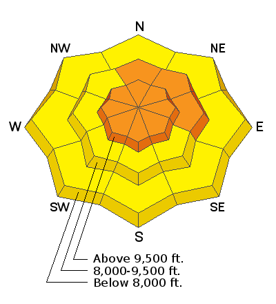
The avalanche hazard is CONSIDERABLE on all aspects in open, exposed terrain above 9000' for wind drifted snow, particularly on aspects facing north, northeast, and east. Snowfall today may create sensitive storm slabs on all aspects at all elevations. On slopes below 9000' the hazard is MODERATE.
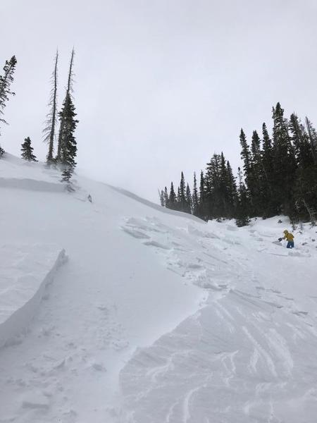
8 human-triggered avalanches were reported on Saturday, with one very close call. Let's make it zero today. The easiest recipe to enjoy today's storm snow is stick to low-angled, wind-sheltered terrain.
The hazard will be increasing as the day progresses, likely rising to HIGH by Monday morning.

Low
Moderate
Considerable
High
Extreme
Learn how to read the forecast here


