Forecast for the Uintas Area Mountains

Issued by Mark Staples on
Friday morning, February 19, 2021
Friday morning, February 19, 2021
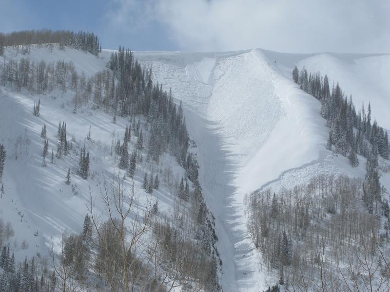
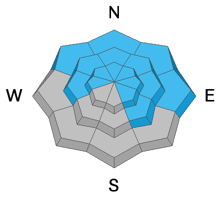
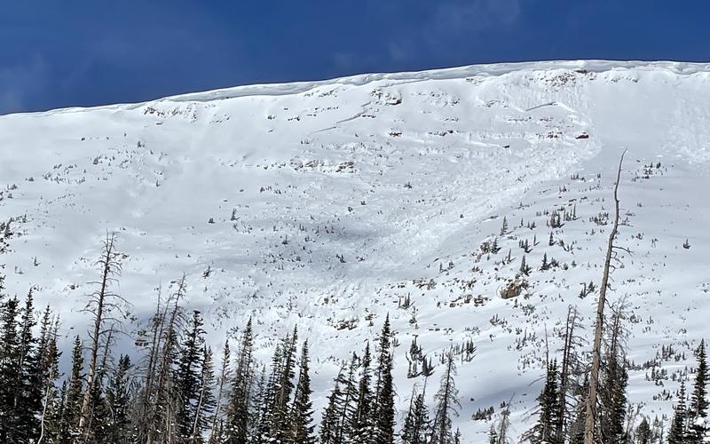
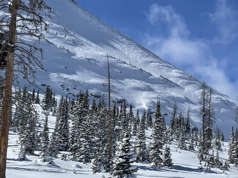
STRONG WINDS TODAY will transport snow and keep the avalanche danger HIGH in all northerly facing terrain above treeline as well as east and southeast facing terrain. Human triggered avalanches are VERY LIKELY. Avalanches will be at 2-5 feet deep and hundreds of feet wide.
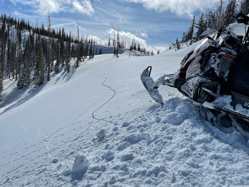
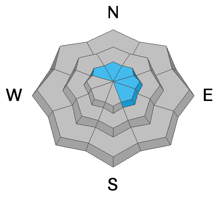
All other terrain near and below treeline has a CONSIDERABLE avalanche danger. These areas require careful snowpack evaluations, conservative decision-making, and cautious route-finding.
Riding conditions are excellent. Take advantage of the many areas of gentle, rolling terrain that isn't steep enough to produce avalanches, but make sure to avoid being under slopes steeper than 30 degrees.

Low
Moderate
Considerable
High
Extreme
Learn how to read the forecast here