Forecast for the Skyline Area Mountains

Brett Kobernik
Issued by Brett Kobernik on
Wednesday morning, January 4, 2023
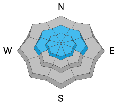
The overall avalanche danger is rated CONSIDERABLE today.
Large human triggered avalanches are likely.
Continue to stay off slopes steeper than 30˚ until conditions stabilize some more.
Avalanches can be triggered from a distance so it's also important to avoid being underneath any steep slope that could release and come down on top of you.
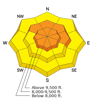
Low
Moderate
Considerable
High
Extreme
Learn how to read the forecast here
Weather and Snow
Current Conditions: The Skyline picked up another few inches of snow over the last 24 hours. Riding conditions remain excellent. Temperatures have stayed steady in the mid teens. Wind from the west picked up speed slightly on Tuesday and drifted some snow. Overall, the wind speeds were light to moderate.
Mountain Weather: It looks like we'll see mostly cloudy skies again today. There shouldn't be any snowfall. Temperatures will climb into the low 20s. Wind will be from the west southwest with light to moderate speeds. It should decrease in speed a bit later this afternoon. Thursday looks mostly cloudy with slight stronger wind from the southwest. Another storm moves in Thursday night into Friday which could bring another 6 inches of snow.
Ad
Avalanche Problem #1
Persistent Weak Layer
Type
Location
Likelihood
Size
Description
BAD NEWS: The November Persistent Weak Layer of sugary faceted snow buried deep in the snowpack remains unstable. Deep human triggered avalanches breaking into this layer are likely today.
GOOD NEWS: In the long run, all of the weight of the snow from the last large storm is going to help stabilize and strengthen the buried Persistent Weak Layer. It is a slow process but we are heading in a good direction.
General Announcements
This forecast is from the U.S.D.A. Forest Service, which is solely responsible for its content. This forecast describes general avalanche conditions and local variations always occur.