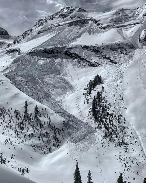
Grizzly Gulch will be closed TODAY and TOMORROW as Alta conducts rescue training
Summer is a busy time for the UAC working on our fall and winter planning, putting together the Fall Fundraiser and the Utah Snow and Avalanche Workshop (USAW), and updating our education programs. In addition, this summer we will be finishing up the website redesign project. Your donation shows you’re invested in this community all year round! You can still be part of the UAC’s success in 2019.
Our final podcast for the season has been released
HERE. Low Danger - A Story in 5 Parts. Thanks much to our producer Benjamin Bombard and our sponsors Arva, Prival, and 2nd Tracks Sports.
This forecast is written by Bo Torrey and approved by Drew Hardesty.
Overnight temperatures hovered around freezing at most weather stations but clear skies and a light breeze will have provided a shallow refreeze to the snow surface above 8000'. Yesterday's riding conditions may have rivaled the best groomed ski runs one could find anywhere (except for the old ruts and frozen wet debris "clinkers").
This morning winds are out of the west-northwest at 10-20 mph with gusts into the upper 20's at most stations. Winds will gradually decrease through the morning into the early afternoon before shifting to the Southwest and increasing ahead of the incoming storm.
Skies will be mostly clear with the possibly of some high thin clouds that could help keep the snow surface from heating quickly. Cloud cover will move into the area by late this afternoon ahead of the storm.
A series of major spring storms is on tap for this week beginning Tuesday afternoon and continuing into Friday eve bringing with it 10"-20" (SWE 0.85"-1.55+"). The pattern remains active into early next week.
Cloud cover and light winds helped to keep things locked up yesterday. There was no reported avalanche activity yesterday.


