Forecast for the Salt Lake Area Mountains

Issued by Trent Meisenheimer on
Sunday morning, March 28, 2021
Sunday morning, March 28, 2021
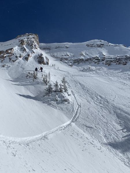
Today the avalanche danger will rise to MODERATE on east, south, and west-facing steep terrain as the snow surface becomes wet. Look for the obvious signs of wet snow: Roller-balls and pinwheels cascading down the slope will be the first sign that the snow is becoming wet and unstable, and it's time to get out of there.
There is also a MODERATE avalanche danger across all upper-elevation steep terrain for the possibility of a small wind slab avalanche. Always be on the lookout for wind drifted snow in the alpine and in extreme terrain.

Low
Moderate
Considerable
High
Extreme
Learn how to read the forecast here