An AVALANCHE WARNING continues for the Western Uintas and the Manti-Skyline Plateau. If you're headed that way or know someone who is, please spread the word and have them check in with that area's forecast.
All terrain north of Little Cottonwood Creek from Gate B to Grizzly Gulch. Extends 100 feet over Twin Lakes Pass, and 1000 meters into Big Cottonwood. Estimated opening: 8am
Coalpit #1, 2, 3, and 4 and Perla's Ridge along with the terrain above and on the Great White Icicle from the road to the ridgeline. Estimated opening: 4pm
Along a cool west-northwest flow, most areas picked up another 2-3" of 4% cold smoke overnight, pushing storm totals since Saturday night to 60"/5.75" in LCC, 70"/6.8" in BCC, and 45"/4.5" along the south end of the PC ridgeline. West-northwest winds are generally 15mph with gusts to 25. The highest, most exposed anemometers are averaging 35-40mph with gusts near 60. Temps are in the low single digits on either side of zero.
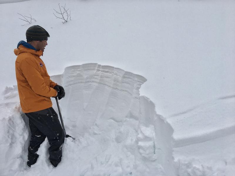
Snow depths are 120-130" in the upper Cottonwoods and 70-80" along the PC ridge. Skiing and riding conditions are out of this world. People lives are changed by conditions like these.
Overcast skies and light flurries should fade away by the afternoon toward partial clearing. Mountain temps will be in the single digits up high, the low teens at other elevations. Winds will be west-northwesterly blowing 15mph. I do have some concern that the winds will remain gusty along the highest peaks and ridgelines through early afternoon.
A weak system should produce another 2-4" Saturday/Saturday night with another storm Sunday night into early Tuesday. Perhaps another 5-10"? Another possibly going south for Valentine's Day...and perhaps another after that?...Stay tuned -
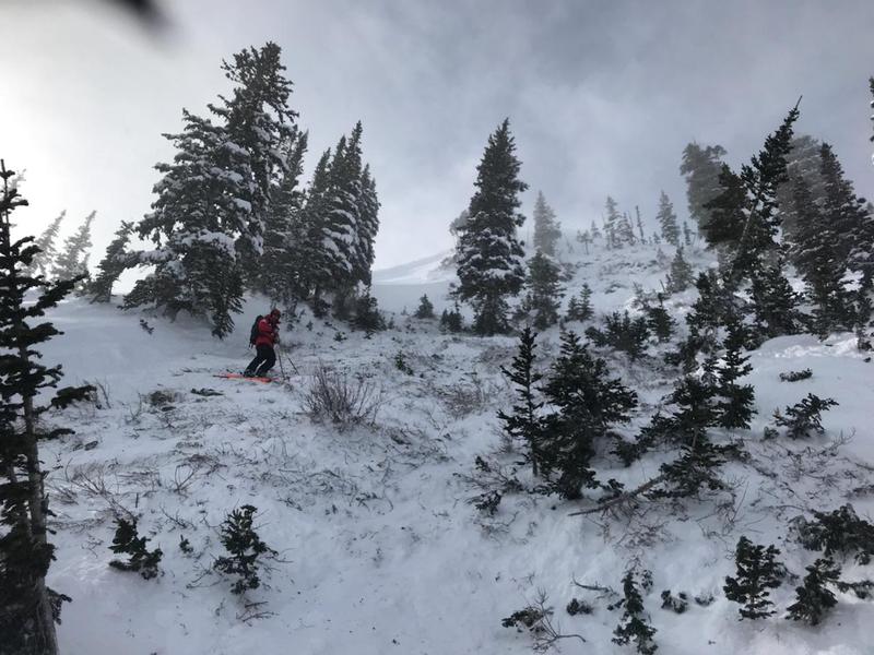
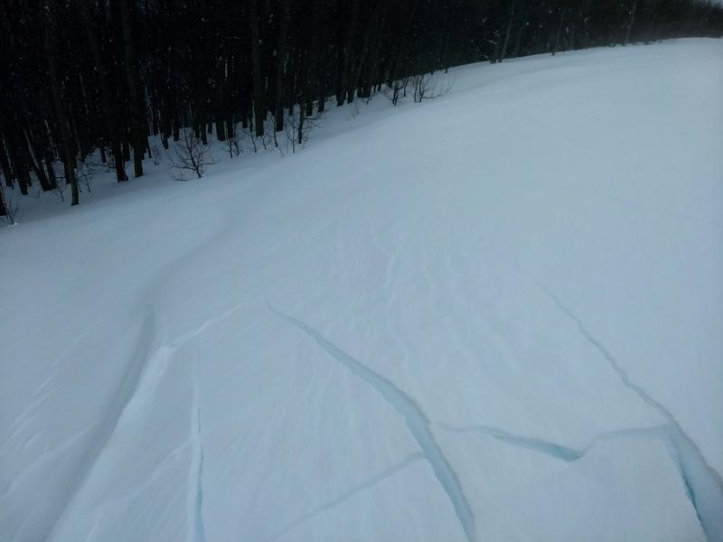
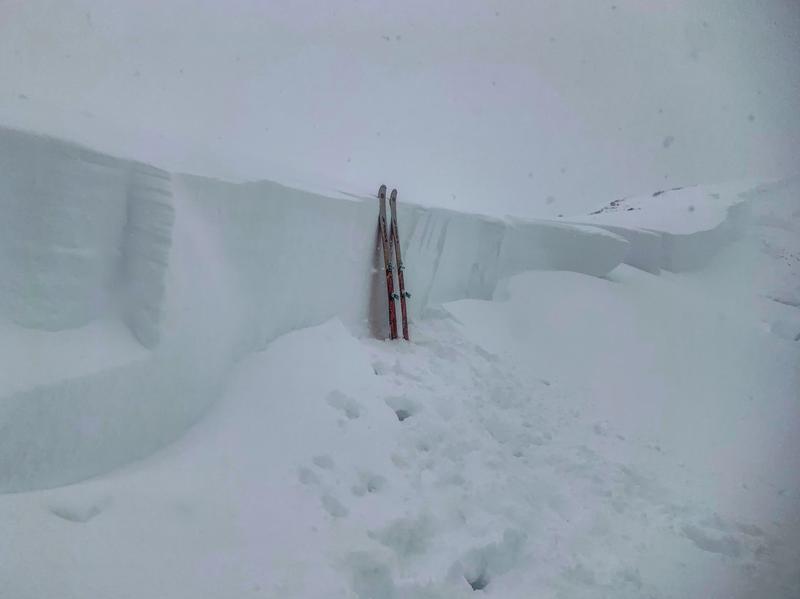
A natural avalanche cycle occurred yesterday morning in upper Little Cottonwood and by the afternoon, tons of debris washed over the road with full avalanche control work. Ski areas control teams triggered numerous small and medium size avalanches with the largest noted along the southern end of the PC ridgeline on a northeast facing slope at 9700'. This avalanche looked to be 3-6' deep, stepping to the ground in some places.


