Forecast for the Salt Lake Area Mountains

Issued by Evelyn Lees on
Tuesday morning, January 8, 2019
Tuesday morning, January 8, 2019
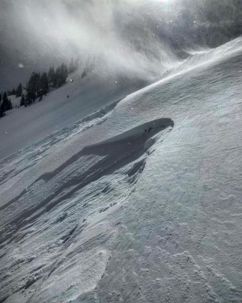
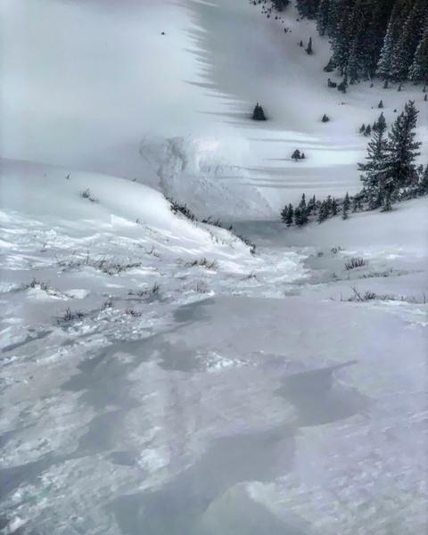
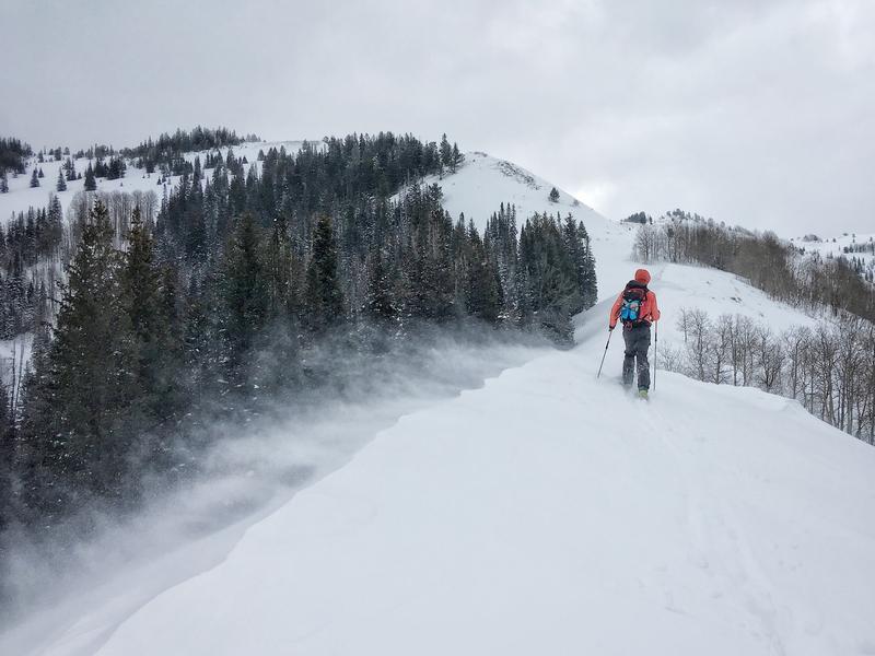
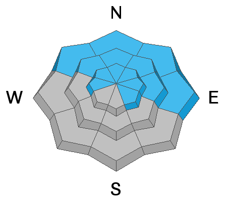
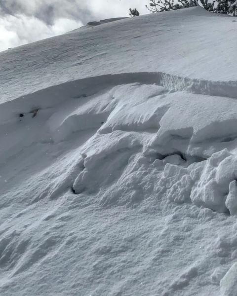
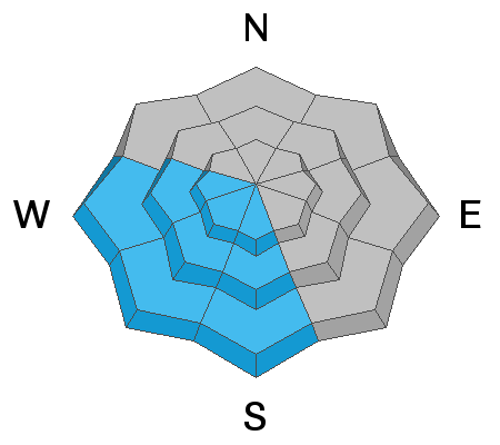
Dangerous avalanche conditions - the avalanche danger is CONSIDERABLE on all steep low, mid and upper elevation slopes for triggering slabs of wind-drifted snow, which can be found on all aspects. CONSIDERABLE means human triggered slides are likely, and natural avalanche possible. Avalanches can be triggered from a distance or below, breaking on faceted weak layers, especially on wind loaded slopes in shallow snowpack areas such as Mill Creek and the Park City ridge line. Wet loose sluffs are possible on steep, sunny slopes as temperatures warm today.
Careful snowpack evaluation, cautious route finding and conservative decision making are essential for backcountry travel today. Wind sheltered terrain is the place to go.

Low
Moderate
Considerable
High
Extreme
Learn how to read the forecast here


