Forecast for the Salt Lake Area Mountains

Issued by Mark Staples on
Wednesday morning, January 16, 2019
Wednesday morning, January 16, 2019
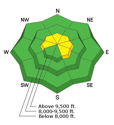
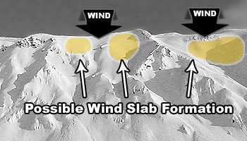
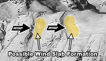
Today with new snow and some S and SW winds, the avalanche danger is MODERATE for triggering a shallow slab of wind-drifted snow at upper elevations. There could be a few isolated wind slabs at mid elevations but these are much less likely to exist. At mid and low elevations the danger is LOW where avalanche conditions are generally safe.
Avalanches breaking 2-3 feet deep on a persistent weak layer are unlikely today but remain a concern at mid and upper elevations especially with more snow coming that may start to awaken this layer.
9 a.m. UPDATE: Shallow natural avalanche spotted on a south aspect near Cardiff Pass in Little Cottonwood Canyon. It broke about 150 feet wide and maybe 4 inches deep within the new snow. This type of instability could settle down by this afternoon, but watch for it this morning while snow is still falling OR if the wind is blowing and loading a slope.

Low
Moderate
Considerable
High
Extreme
Learn how to read the forecast here


