Donate today to help us rebuild our website backend platform to ensure uninterrupted access to avalanche information and the ongoing security of the website and the data stored on the site.
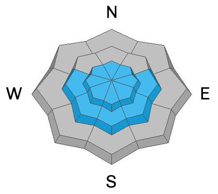
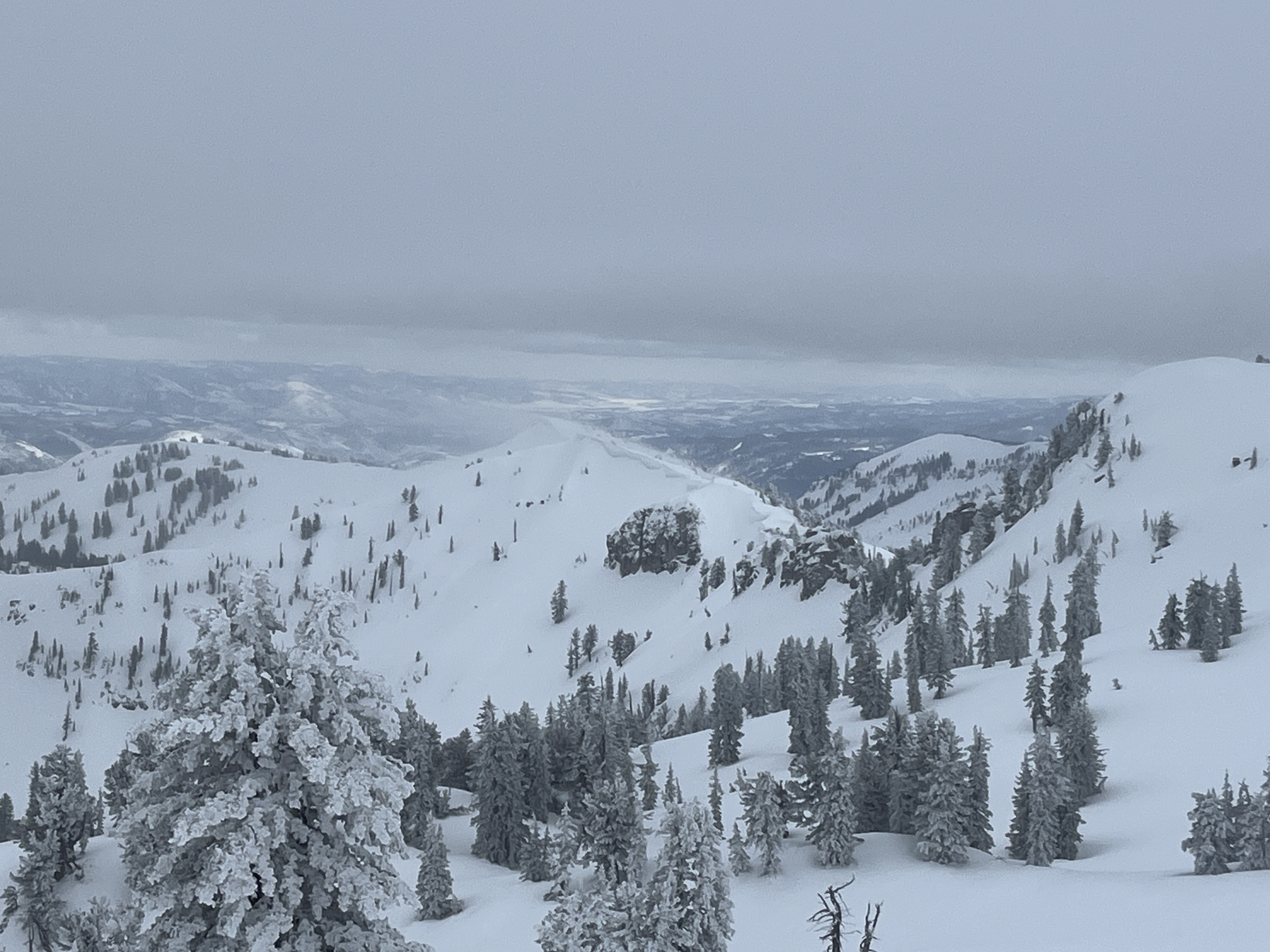
Today, people will find nice shallow powder riding conditions in the backcountry, especially in sheltered upper-elevation terrain. Several inches of new snow accumulated on upper and mid-elevation slopes across the zone, and winds that were pretty strong yesterday diminished significantly overnight. The most significant avalanche problem today will be potential small avalanches of wind-drifted snow. Yesterday's winds drifted the storm snow as it fell and created soft wind slabs in deceleration zones, lee slopes, and in and around terrain features like sub-ridges, mid-slope rollovers, gullies, sinks, and cliff bands. If the sun pops out from behind the clouds for a little while, springlike temperatures could elevate the danger of loose wet avalanches in steep sunny terrain. You'll find safer and better riding conditions in the meadows and on sheltered, lower-angled slopes.
The Tony Grove Lake Snotel at 8400' reports 7 inches of nice new snow from yesterday's storm. It's 22° F this morning, and there is104 inches of total snow at the site containing 122% of normal snow water equivalent. At 6:00 on Logan Peak, light winds are blowing from the west at 9 mph, with gusts in the teens, and it's 17° F at 9700'.
At our new
Paris Peak weather station at 9500', it's 16 °F, and the wind is blowing from the south 3 to 5 mph. It's 20° F at our new
Card Canyon weather station at 8800', where nearly 7 inches of new snow accumulated yesterday, and there is now 91 inches of total snow.
Today will be mostly cloudy in the mountains, with a chance of snow showers in the afternoon. High temperatures at 8500' will be near 36° F, with light and variable winds in the morning, coming from the south-southwest in the afternoon.
Snowfall will resume late tonight and continue through tomorrow, with 6 to 14 inches of accumulation possible in upper-elevation terrain and moderate winds blowing from the south-southwest.
More snow is expected on Sunday, with 7 to 11 inches of accumulation possible up high.
Numerous avalanches were triggered in the mountains above Salt Lake City in the past few days, including several that caught, carried, and even injured people.
See the reports
It has been much less active locally, but on Wednesday, a snowmobiler remotely triggered a small wind slab avalanche from quite a distance on Cornice Ridge in the Central Bear River Range. Riders also triggered several other small wind slabs this week in drifted upper-elevation terrain.
Check out all local observations and avalanches
HERE.


