Join us at our 2nd Annual Blizzard Ball

Forecast for the Logan Area Mountains

Toby Weed
Issued by Toby Weed on
Wednesday morning, December 4, 2024
Avalanches are unlikely in the backcountry, and the danger is LOW. The shallow, weak, and sugary snow is stable, and our primary concern is the potential for hitting rocks, stumps, or down trees.
Use normal caution and keep your speed down.
  • Many slopes and trailheads at lower elevations are bare of snow. Upper-elevation snow is loose, faceted, and still too shallow for safe off-road riding.
Low
Moderate
Considerable
High
Extreme
Learn how to read the forecast here
Special Announcements
AVALANCHE AWARENESS WEEK!
  • Free avalanche awareness TONIGHT, Wednesday, December 4 - USU KBYG (Know Before You Go) Night. Event starts at 6:30 at the USU ARC.
  • Come join USU OP and the Utah Avalanche Center for a FREE beacon clinic on Saturday, December 7th, from 10am to noon on the USU campus. This event is open to anyone wanting to learn how to use an avalanche transceiver or brush up on their transceiver skills.
  • Saturday, December 7 - 17th Annual Utah Snow and Avalanche Workshop (USAW) - Information and tickets are available here.
  • Last night's 21st Annual Pray for Snow Fundraiser/Party was a big success! It was great to see you there. THANK YOU!
Weather and Snow
We're finding generally safe avalanche conditions in the Logan Zone, and the greatest hazard is hitting rocks. The snowpack is still quite shallow, with many obstacles visible above the snow surface and others that are only shallowly buried by loose snow. Skiers and snowboard riders can find decent "loud powder" conditions on lower angle, shaded, and sheltered slopes with weak snow or surface hoar on the snow surface.

-The 8500' Tony Grove Snotel reports 35°F and 18 inches of total snow on the ground. It's 36°F at the 8800' UAC Card Canyon weather station, with 21 inches of total snow.
-Currently at 9700' at the CSI Logan Peak weather station, it's 35°F and the wind is blowing from the northwest at 13 mph. At 9500' on UAC Paris Peak it's 34°F, and winds are from the north blowing 11 mph.
  • Expect clear, sunny skies today, a high of 38°F at 8500', and light winds blowing from the west-northwest. The forecast is essentially the same for tomorrow and the next day.
  • We can expect stable atmospheric conditions with fair weather in the mountains and haze in the valleys. The high-pressure system will control the weather pattern for the remainder of the week, with an improving chance for a little snow in the mountains this weekend, mainly on Sunday. Check out the NWS in SLC's Area Forecast Discussion.
For more information, visit the UAC weather page here: Weather - Utah Avalanche Center
For Logan-specific weather go here: Logan Mountain Weather - Utah Avalanche Center
Mt Magog and environs as seen from the south on 12-3-2024. Some coverage exists, but the upper elevation snow is quite thin and loose, only 1.5 to 2.5 feet (40 to 80 cm) deep.
Recent Avalanches
No significant avalanches have been reported recently.
You can read all observations here.
Ad
Avalanche Problem #1
Normal Caution
Type
Location
Likelihood
Size
Description
Low avalanche danger does not mean no avalanche danger, and taking a ride in even a small avalanche could be quite dangerous and consequential. Remember that risk is inherent in mountain travel.
  • Avoid isolated wind slabs formed by drifting from elevated westerly winds on Saturday. You'll likely find stiff drifts in upper elevation easterly terrain and in and around terrain features. Stiff wind slabs formed on slopes plagued by very weak and loose faceted snow.
  • Small loose avalanches of wet snow are possible in sunny terrain in the midday heat.
Additional Information
In this archived video, Trent explains the problem of weak, faceted snow development that occurs during high-pressure systems when shallow snow is subjected to cold temperatures this time of year. This is exactly the situation we find ourselves in the Logan Zone today. We'll have to monitor the widespread weak snow when storms start to roll in.

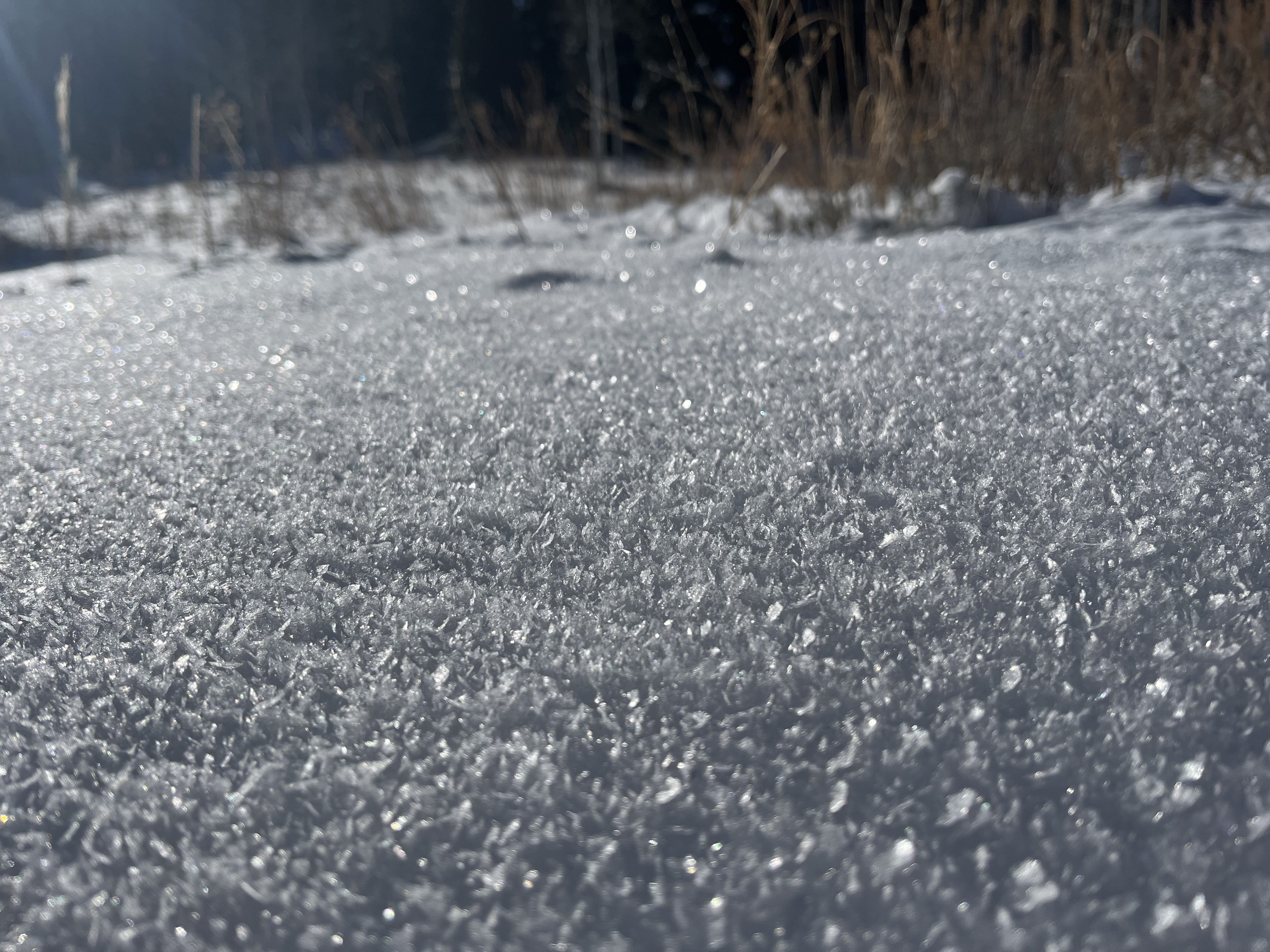
Feathers of surface hoar or frost crystals on the snow surface are widespread in sheltered terrain in the Logan Zone... These are beautiful two-dimensional crystals that can become a future weak layer if they are buried intact. In this case, they are likely to be destroyed by wind, sun, and warm temperatures before that happens....
General Announcements
-National Forest Winter Recreation Travel Maps show where it's open to ride: UWCNF Logan, Ogden LRD Tony Grove, Franklin Basin CTNF Montpelier
-Sign up for forecast region-specific text message alerts. You will receive messages about changing avalanche conditions, watches, and warnings...HERE.
-For all questions on forecasts, education, Know Before You Go, events, online purchases, or fundraising, call 801-365-5522.
-To report an avalanche or submit an observation from the backcountry, go HERE.
-Remember that the Tony Grove Road is not maintained for winter driving. Treacherous snow-covered and icy conditions will be encountered.

This forecast is from the U.S.D.A. Forest Service, which is solely responsible for its content. This forecast describes general avalanche conditions, and local variations always occur.