Nikki Champion
Forecaster
Week in Review: Avalanche Conditions and Snowpack Developments (December 6 - December 12, 2024)
Each week, we look back at the key snowfall, weather, and avalanche events from the previous week. For archived forecasts, visit the Salt Lake Mountains’ past updates.
The danger roses for the Salt Lake mountains from Friday, December 6th through Thursday, December 12th:

Overall Summary:
The avalanche danger remained LOW for most of the week, with no major avalanche activity reported in the backcountry. Winds increased throughout the week, with gusts up to 60 mph, and a few inches of snow accumulated at higher elevations. Despite hopes for more snow, the storms were underwhelming, with only a trace to 3” reported across the range. On December 10th, reports began to trickle in of facet sluffs occurring in the backcountry, emphasizing the presence of weak faceted snow at upper elevations.
By December 12th, with increasing winds and new snow, the avalanche danger rose to MODERATE, particularly on steep, wind-drifted slopes. Ski area patrol triggered a 1-2 foot deep, 75-foot wide avalanche using explosives, which broke on old, weak faceted snow near the ground at 9,900’ on a north-facing slope, highlighting the tricky nature of this early-season PWL. The last reported avalanche on this layer occurred on November 30th. While avalanche danger remained generally low, the week underscored the growing risks associated with wind loading and weak snow layers, especially in steep, upper-elevation terrain. Once we get a load or slab on top of this weak faceted snow, the snowpack will come to life.
December 6th: The avalanche danger remains LOW going into the weekend. The primary takeaways are the massive surface hoar that continues to form and the large temperature inversion (and smog inversion).
December 7th: Avalanche danger remains LOW, with no new avalanches reported. Winds begin to pick up, with a slight chance of snow finally in the forecast for Sunday.
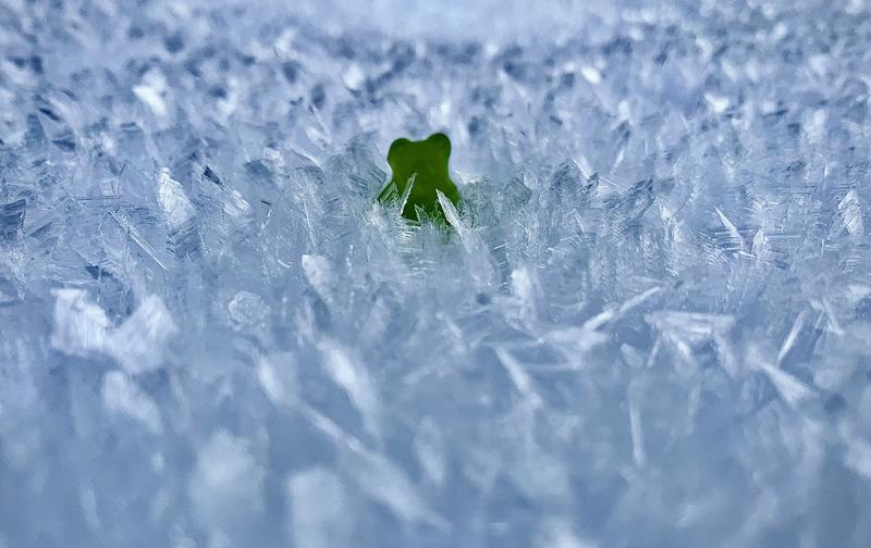
Impressive surface hoar, and even more impressive photos

December 8th: Avalanche danger remains LOW. Travel remains possible, but the base is losing snow across the range. Travel on snowmobiles is becoming nearly impossible off-road. Winds pick up, and temperatures drop. Hopes for a trace amount of snowfall offer optimism going into the week.
December 9th: Sadly, the storm did not produce, with a trace to 1 inch of snow reported across the range. Winds remain elevated overnight, with gusts up to 60 mph. Avalanche danger remains LOW, with the main concern being the elevated winds forming shallow slabs of wind-drifted snow atop the faceted layers.
December 10th: With a little more precipitation during the day and a trace amount overnight, snow totals ended up at 3 inches on the higher ends and a trace amount in the lower elevations, even giving a small dusting of snow in the valleys. Winds remained elevated for the third day in a row, and while avalanche danger remained LOW, concerns persisted in upper-elevation, wind-drifted terrain. A skier-triggered facet sluff avalanche was observed in Scott’s Bowl on the Park City ridgeline. The slide, approximately 15 feet wide and 150 feet long. Overnight wind loading had covered previous skin tracks, but ski tracks were visible above the slide path.
Trent out in the field 12/10 chatting about the snowpack structure.
December 11th: Another LOW danger day. As Drew put it, "Wherever you see white, it's either hard, slick melt-freeze crusts or weak sugary faceted snow." Recent activity includes natural and human-triggered dry facet sluffs in steep, cold, shady terrain. The weak surface snow is losing strength, making longer-running point-release sluffs more common. While they’re unlikely to bury someone, they could knock an unwary person off their feet.
December 12th: With the bump in winds and a few inches of new snow on tap, the avalanche danger rose to MODERATE on steep, wind-drifted slopes at upper elevations. No backcountry avalanches were reported, but Park City Mountain Resort teams triggered an outlier avalanche with explosives. It broke 1-2’ deep and 75’ wide, failing on old, weak faceted snow near the ground at 9,900’ on a north-facing slope. This highlights the tricky nature of an early-season PWL. The last reported avalanche on this layering occurred in South Monitor Bowl on November 30th.
Avalanche from Park City Mountain resort


Leave a comment