Observer Name
T Diegel, L Dunn, A Patterson
Observation Date
Thursday, February 15, 2024
Avalanche Date
Thursday, February 15, 2024
Region
Salt Lake » Big Cottonwood Canyon » Mineral Fork
Location Name or Route
Mineral Fork
Elevation
9,000'
Aspect
North
Slope Angle
Unknown
Trigger
Unknown
Avalanche Type
Soft Slab
Avalanche Problem
Wind Drifted Snow
Weak Layer
New Snow
Depth
10"
Width
100'
Vertical
100'
Comments
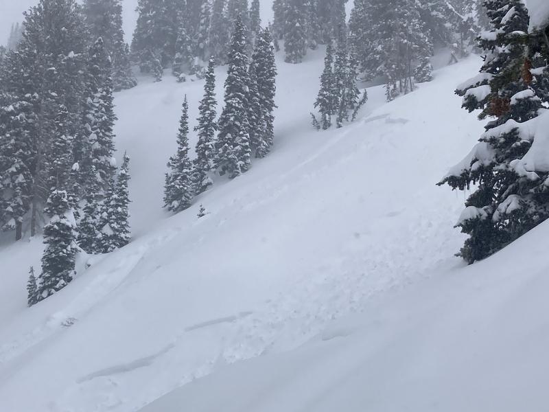
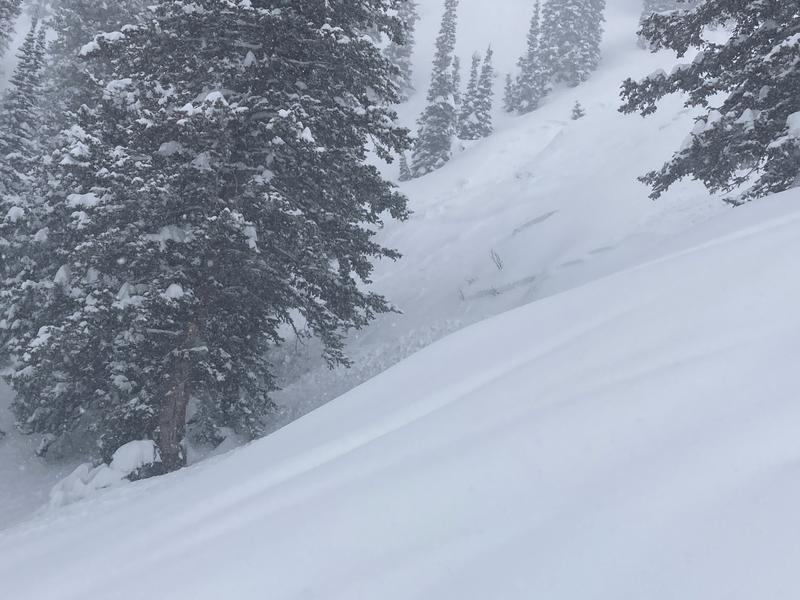
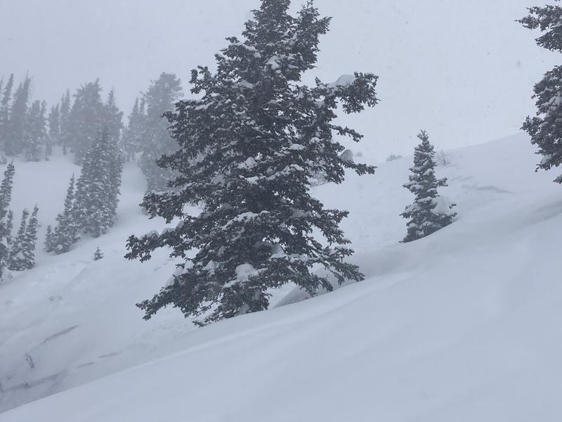
Skinned up the gentle (after the initial steeper) slope of the ridge adjacent (west) to East Facing during a pretty intense, wet snow squall that had some graupel in it as well and had strong west winds. Near the top we saw the remnants of a pretty small soft slab avalanche that had released earlier in the day from a steep, windloaded zone <100' down off the ridge. There were a couple of tracks in the neighborhood that had about the same amount of new snow on them so it's possible that those folks triggered the slide from the adjacent, lower-angle sub-ridge? They may send in an ob themselves? The terrain flattens out quite a bit below - to the point of being too flat to get any speed in the 8-10" of new snow, so the avalanche didn't run far. It wasn't surprising that there was a new snow soft-slab given that there was already 6+ inches of new that came in intensely in the morning, and as we went down the lower-angled ridge and then dropped off the rib into the sub-drainage we got micro-slabs to pull off the steep rock-rolls (last pic). Nothing of consequence and not a lot of connectivity, but of course the same setup in ruggeder terrain would have different outcomes. This new snow volatility will probably settle out quickly, but of course it could have yet another weighted effect on the notorious PWL? But could also - hopefully - be adding yet another layer on top of the cake that may put that PWL out of play for the season? Hope so....


Coordinates


