Observer Name
Staples & Deutschlander
Observation Date
Wednesday, January 24, 2024
Avalanche Date
Saturday, January 20, 2024
Region
Uintas » Moffit Peak
Location Name or Route
East face of Moffit
Elevation
10,800'
Aspect
East
Slope Angle
34°
Trigger
Natural
Avalanche Type
Hard Slab
Avalanche Problem
Persistent Weak Layer
Weak Layer
Facets
Depth
3.5'
Width
1,500'
Vertical
600'
Snow Profile Comments
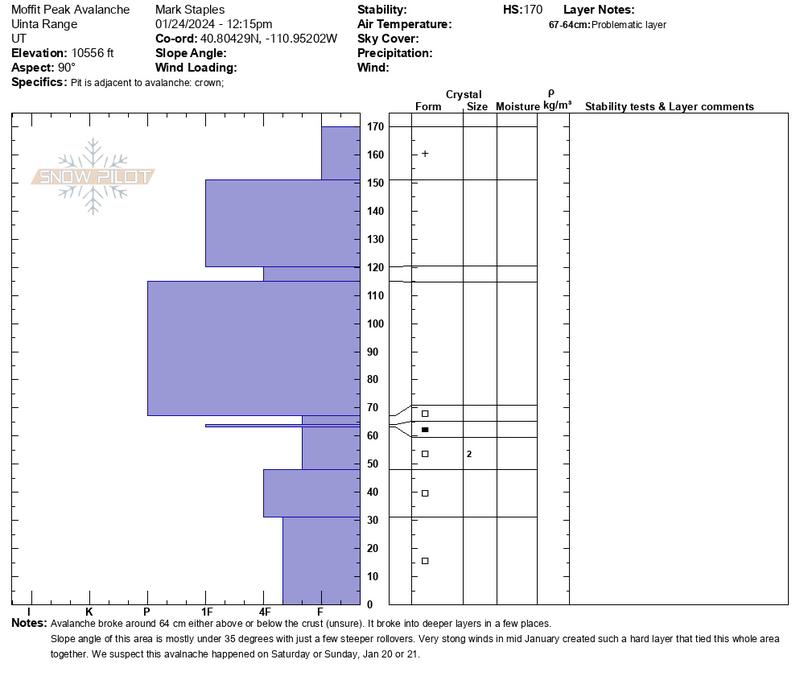
The weak layer was the snow surface we observed on Jan 1st. It was so faceted and weak that it was sluffing as we skied down it. This layer was buried on Jan 4th by a just an inch of snow which capped and preserved it from valley bottoms to high ridgelines (often winds before a storm destroy weak layers on the surface).
Comments
We found this massive avalanche today. Based on a few inches of snow on top of the debris, it only happened a few days ago. Maybe Saturday or Sunday (Jan 20 or 21). It seems to be likely a natural, but there's a chance it was remotely triggered by a snowmobiler (there were just a few old tracks very low so it seemed unlikely that they triggered it).
We found a very hard layer of snow in the avalanche crown face from very strong winds during the middle of January (video from Jan 12). That hard layer likely tied this entire slope together and allowed this slide to break over such a wide area.
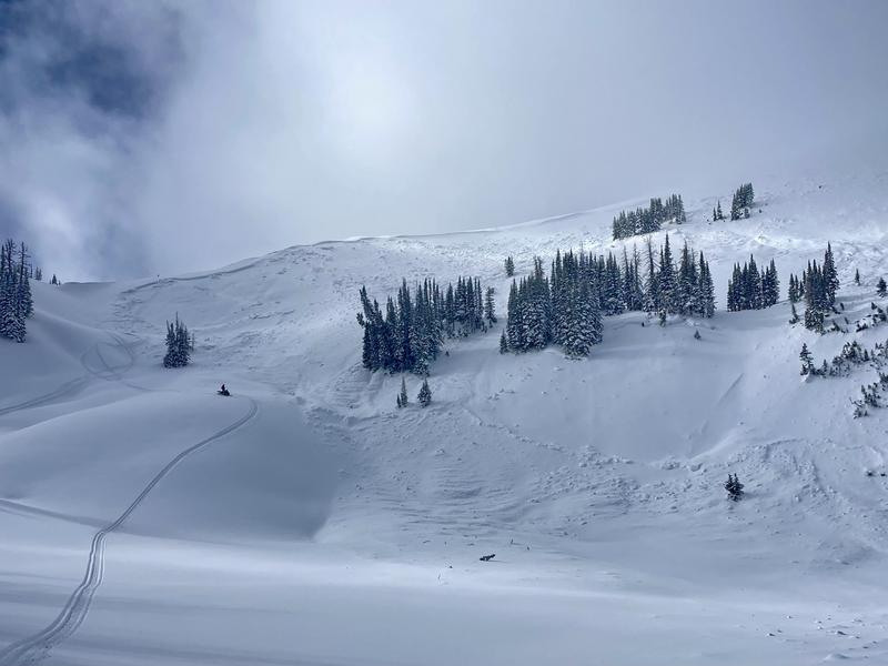
What's notable is that generally this bowl is less than 35 degrees in steepness with some small steeper rollovers, so it isn't the steepest terrain.
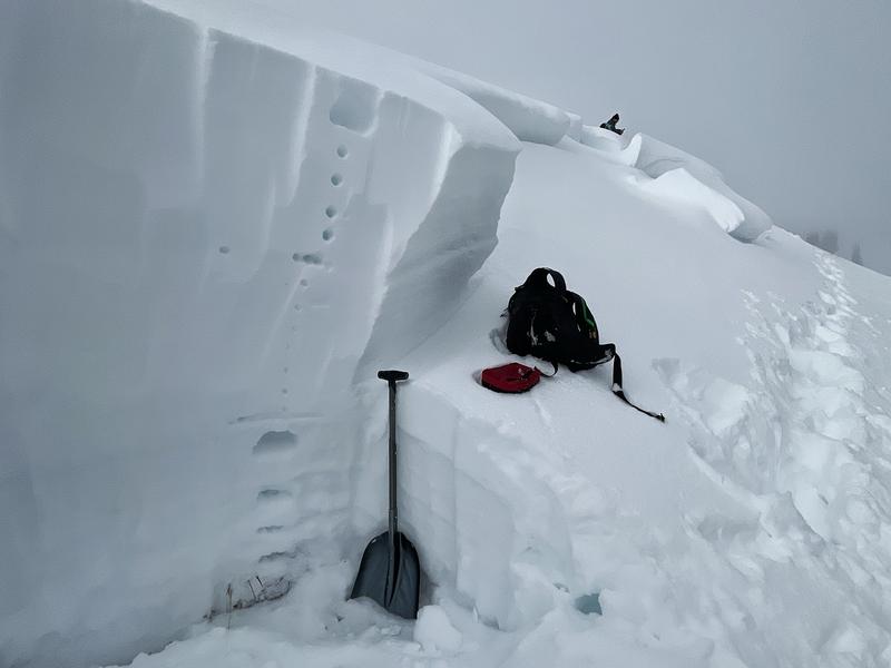
Photo 1 - Layers in the crown face. Indentations indicate hardness (fist - the softest, 4 fingers, 1 finger, Pencil - the very hard layer)
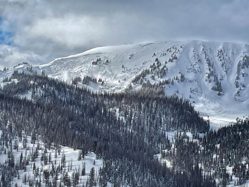
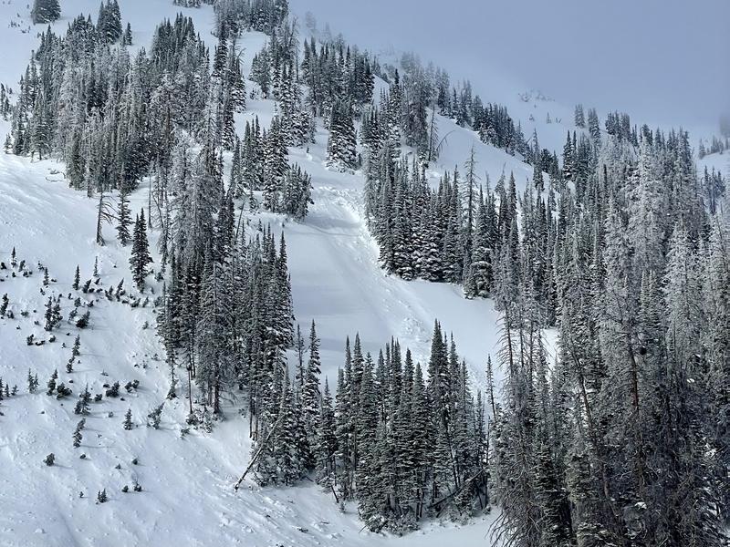
Photo 2 (Deutschlander) - Overview of the slide
Photo 3 (Deutschlancer) - View of the left (south end) showing the mostly mild terrain (still steeper than 30 degrees and still avalanche terrain)
Photo 4 - Looking to the north. Everything you can see in the photo avalanched
Photo 5 (Deutschlander) - Looking at the right side (north side) of the slide and how it broke into the trees.

Coordinates


