Observer Name
Kelly, Pressman
Observation Date
Monday, January 22, 2024
Avalanche Date
Friday, January 19, 2024
Region
Salt Lake » Big Cottonwood Canyon » Mineral Fork
Location Name or Route
Mineral Fork-GB No
Elevation
8,300'
Aspect
Northeast
Slope Angle
39°
Trigger
Natural
Avalanche Type
Soft Slab
Avalanche Problem
Persistent Weak Layer
Weak Layer
Facets
Depth
3'
Width
80'
Vertical
150'
Snow Profile Comments
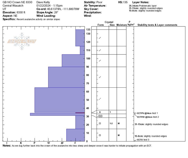
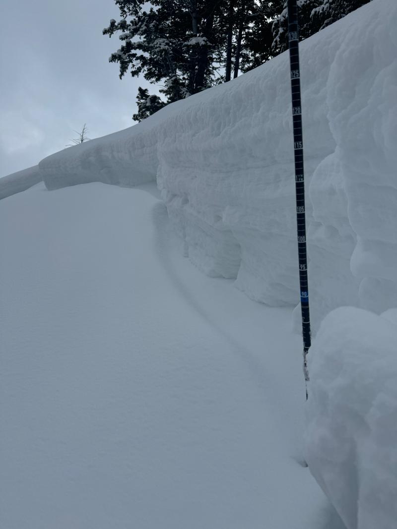
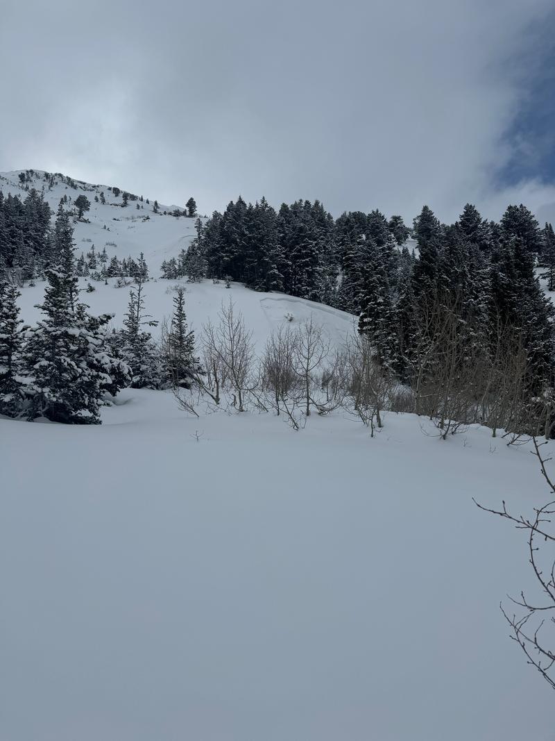
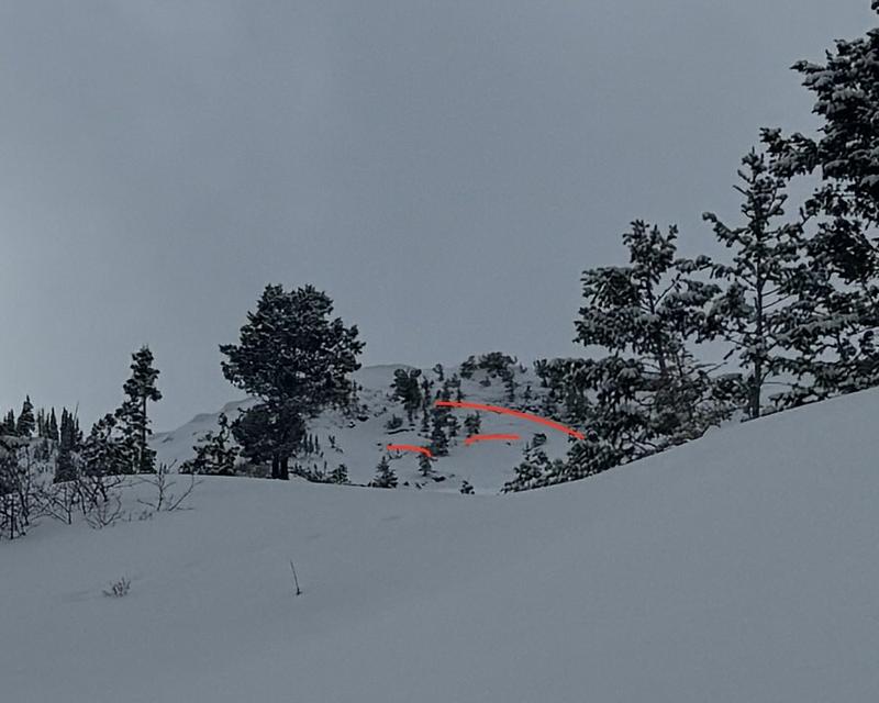
Total height of snow was (5')135cm in the flank of the crown. There were 2 avalanches near this location and we dug in the lower avalanche at 8330'. This avalanche was approximately 75' x150' vertical with avalanche debris and blocks the size of washing machines. The average depth of the crown face was 3' and it was 4' at the deepest. It was approximately 1.5' at the most shallow and steepest (39 °) part of the crown. Where we dug was a 28° slope angle. The avalanche failed on small (1mm) rounding facets approximately 1' off the ground above a pencil hard melt-freeze crust. As we moved back through the crown from the steepest portion to the less steep portion the ECT results changed drastically. At the steepest portion we got an ECTPV@34cm (broke while cutting). In the middle we got an ECTP21@34cm, and in the back of the crown face (28 ° slope) we got an ECTX. Lots of spatial variability in an isolated location. When we descended the bed surface we got dry loose avalanches isolated to our skis in the 6" of new snow that had fallen since the avalanche occurrence. Crystal card in photo shows failure plane.

Comments
This avalanche in GB No was first reported to the UAC on January 19th as part of this REPORT.

Comments
Read the rest of our observation from Mineral Fork HERE.


Coordinates


