Observer Name
Doug Wewer
Observation Date
Sunday, March 14, 2021
Avalanche Date
Sunday, March 14, 2021
Region
Southwest » Tushers » Mt Holly
Location Name or Route
Mt. Holly
Elevation
11,400'
Aspect
Southwest
Slope Angle
Unknown
Trigger
Natural
Avalanche Type
Soft Slab
Avalanche Problem
Wind Drifted Snow
Depth
18"
Width
100'
Vertical
300'
Comments
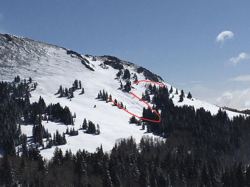
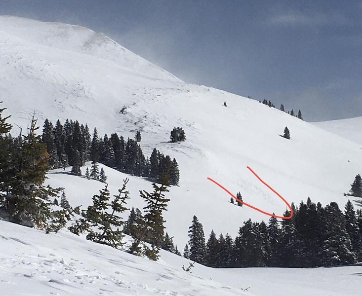
First photo below is the slide with the location marked and the one dimensions are shown for. Guessing 12-24" depth. Hard to tell since crown and debris was already blown in.
Comments
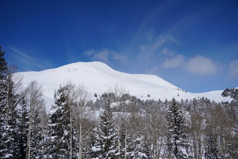
Both Mt Holly and Lake Peak were covered with about 24" of new snow from the Wed to Fri storms. Photo below is of the West side of Mt Holly covered with snow on 3/13 Saturday afternoon prior to wind event.
Comments
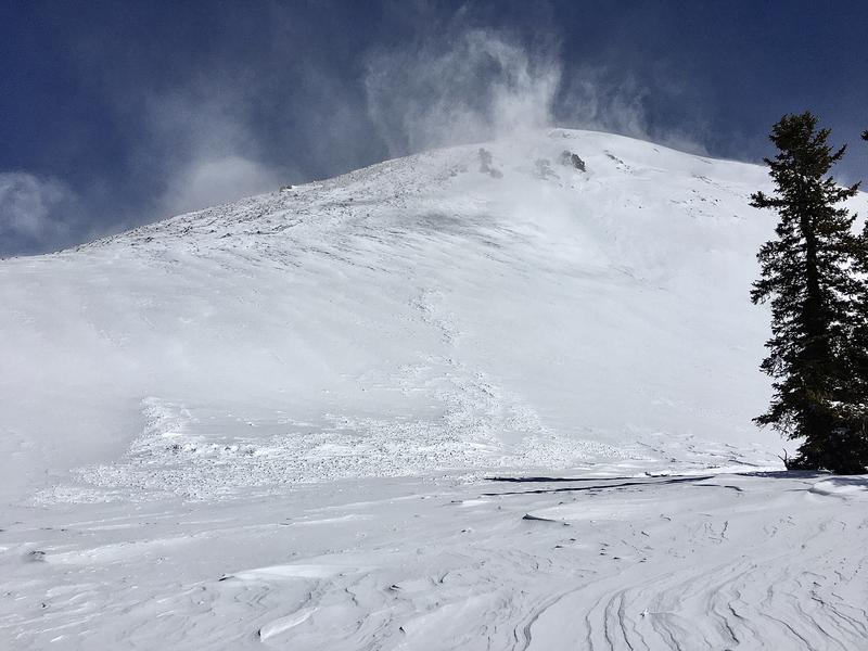
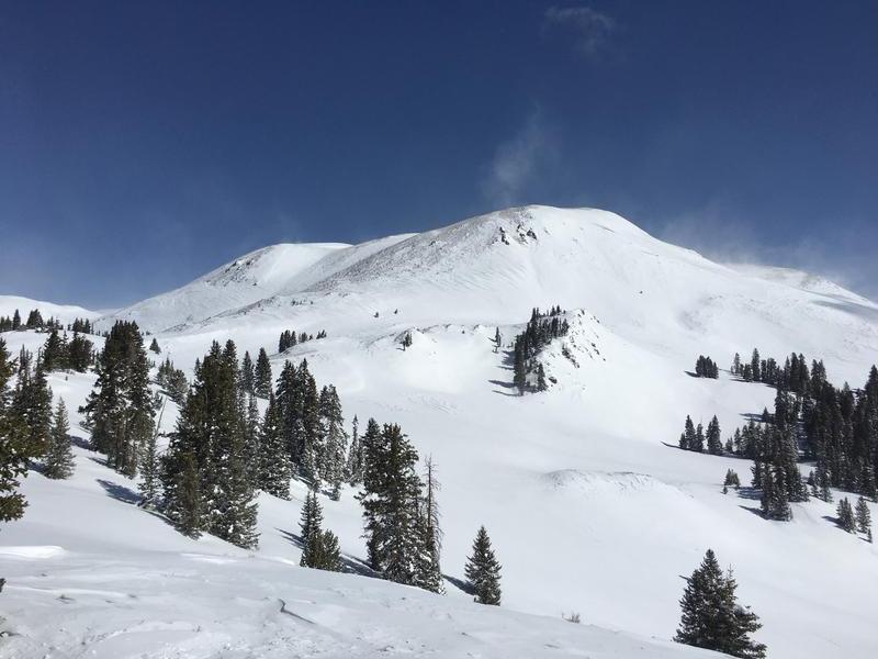
A strong wind event Saturday night and/or Sunday morning eroded almost all of the new snow on exposed NW and W aspects and deposited the snow onto SW to
SE aspects (and probably East as well), and cross loaded some areas. Photo below is of West side of Mt Holly Sunday 3/14 after wind event.
Comments
This wind event caused a widespread natural avalanche cycle. I observed about a half dozen slides from my vantage points - all seemed to be D1 to D2. The wind had already filled in much of the evidence, so hard to provide accurate details. I'm guessing the largest slides ran 500' vertical feet or more and were a couple hundred feet wide. Elevations were all above 11,000'. Sorry for the poor photos - didn't have the good camera with me.
Coordinates


